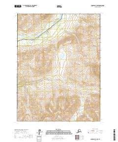
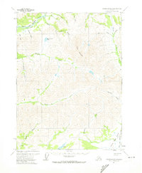
2017 Map of Chandalar B-6 NW
USGS Topo · Published 2017About this map
Wiseman sits along the northern edge of this Brooks Range corridor, marking a significant point of human activity in the Alaskan interior. The landscape is defined by the vital transportation and energy arteries that traverse the valley, including the Dalton Highway and the Alaska Pipeline. These modern engineering feats follow the natural path carved by the Middle Fork Koyukuk River, which flows through the northwestern portion of the map.
Find a feature on this map
18 named features on this map. Tap any name to fly to it.
Don’t see what you’re looking for? This feature index may not catch every label — zoom into the map to look around manually.
Map Details
Editions of this 2017 Chandalar B-6 NW Map
This is the sole edition of this map. No revisions or reprints were ever made.
Other maps of this area

1951 · Chandalar
USGS Topo · 1:250,000

1951 · Wiseman
USGS Topo · 1:250,000

1956 · Chandalar
USGS Topo · 1:250,000

1956 · Wiseman
USGS Topo · 1:250,000

1964 · Wiseman
USGS Topo · 1:250,000

1964 · Chandalar
USGS Topo · 1:250,000
1971 · Chandalar C-6
USGS Topo · 1:63,360
1971 · Wiseman C-1
USGS Topo · 1:63,360
1971 · Wiseman B-1
USGS Topo · 1:63,360
1971 · Chandalar B-6
USGS Topo · 1:63,360