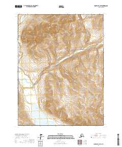
2017 Map of Chandalar C-5 SW
USGS Topo · Published 2017About this map
Bob Johnson Lake and the winding course of the Bettles River anchor this remote Alaskan landscape within the Yukon-Koyukuk Census Area. The terrain is defined by a dense network of watercourses, including the Mathews River and numerous tributaries like Eightmile Cr and Limestone Cr. The presence of Last Chance Cr and Garnet Cr suggests a landscape historically scrutinized for its mineral potential, while labels like Big Spruce Cr and Billy Glen Cr point to the naming conventions of early travelers and surveyors in the Brooks Range foothills. The map provides a detailed view of the natural hydrology and elevation before any modern infrastructure altered these drainage patterns.
Find a feature on this map
16 named features on this map. Tap any name to fly to it.
Don’t see what you’re looking for? This feature index may not catch every label — zoom into the map to look around manually.
Map Details
Editions of this 2017 Chandalar C-5 SW Map
This is the sole edition of this map. No revisions or reprints were ever made.
Other maps of this area

1951 · Chandalar
USGS Topo · 1:250,000

1956 · Chandalar
USGS Topo · 1:250,000

1964 · Chandalar
USGS Topo · 1:250,000

1971 · Chandalar B-5
USGS Topo · 1:63,360

1971 · Chandalar C-5
USGS Topo · 1:63,360
1971 · Chandalar C-6
USGS Topo · 1:63,360
1971 · Chandalar B-6
USGS Topo · 1:63,360
2017 · Chandalar C-5 NE
USGS Topo · 1:25,000
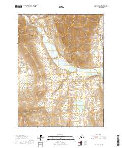
2017 · Chandalar C-6 SE
USGS Topo · 1:25,000
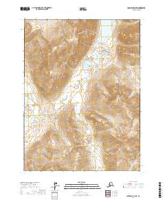
2017 · Chandalar B-5 NE
USGS Topo · 1:25,000