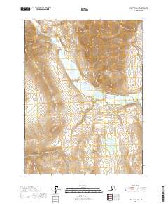
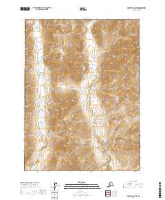
2017 Map of Chandalar C-6 SE
USGS Topo · Published 2017About this map
Bettles River and Mathews River converge in this remote corridor of the Yukon-Koyukuk Census Area, where glacial hydrology dictates the shape of the land. High peaks such as Sukakpak Mtn and Wiehl Mtn tower over a network of drainages that have long served as landmarks for navigation through the northern wilderness. The presence of Linda Creek Pass suggests a natural transit point between the various creek valleys, likely used by those traversing the region between the larger river systems.
Find a feature on this map
19 named features on this map. Tap any name to fly to it.
Don’t see what you’re looking for? This feature index may not catch every label — zoom into the map to look around manually.
Map Details
Editions of this 2017 Chandalar C-6 SE Map
This is the sole edition of this map. No revisions or reprints were ever made.
Other maps of this area

1951 · Chandalar
USGS Topo · 1:250,000

1956 · Chandalar
USGS Topo · 1:250,000

1964 · Chandalar
USGS Topo · 1:250,000

1971 · Chandalar B-5
USGS Topo · 1:63,360

1971 · Chandalar C-5
USGS Topo · 1:63,360
1971 · Chandalar C-6
USGS Topo · 1:63,360
1971 · Chandalar B-6
USGS Topo · 1:63,360
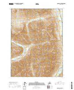
2017 · Chandalar C-6 NW
USGS Topo · 1:25,000
2017 · Chandalar C-5 NW
USGS Topo · 1:25,000
2017 · Chandalar B-6 NE
USGS Topo · 1:25,000