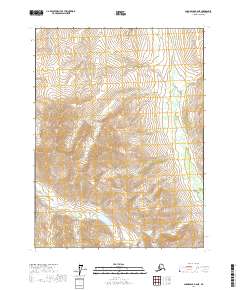
2017 Map of Chandalar B-6 NE
USGS Topo · Published 2017About this map
Poss Mtn anchors this interior landscape in the Yukon-Koyukuk Census Area, serving as a primary high-relief landmark amidst a complex drainage network. The terrain is defined by its deep alpine valleys and the dendritic patterns of numerous watercourses, including Magnet Cr and Gold Cr in the northern reaches. These streams cut through the high country, creating a rugged topography where local elevation changes are sharp and immediate.
Find a feature on this map
12 named features on this map. Tap any name to fly to it.
Don’t see what you’re looking for? This feature index may not catch every label — zoom into the map to look around manually.
Map Details
Editions of this 2017 Chandalar B-6 NE Map
This is the sole edition of this map. No revisions or reprints were ever made.
Other maps of this area

1951 · Chandalar
USGS Topo · 1:250,000

1956 · Chandalar
USGS Topo · 1:250,000

1964 · Chandalar
USGS Topo · 1:250,000

1971 · Chandalar B-5
USGS Topo · 1:63,360

1971 · Chandalar C-5
USGS Topo · 1:63,360
1971 · Chandalar C-6
USGS Topo · 1:63,360
1971 · Chandalar B-6
USGS Topo · 1:63,360
2017 · Chandalar C-6 SE
USGS Topo · 1:25,000
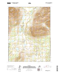
2017 · Chandalar B-5 SW
USGS Topo · 1:25,000
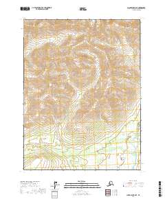
2017 · Chandalar B-6 SE
USGS Topo · 1:25,000