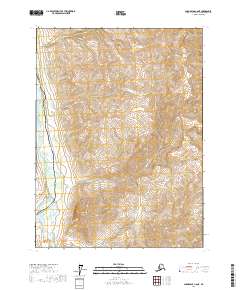
2017 Map of Chandalar C-6 NE
USGS Topo · Published 2017About this map
The Alaska Pipeline and the Dalton Highway run parallel through this remote Arctic corridor, serving as the primary industrial arteries of the region. This survey captures the critical infrastructure necessary for energy transport and overland access to the North Slope, etched against the steep topography of the Brooks Range. The valley floor is defined by the Dietrich River, which flows south toward its confluence with the Bettles River near the base of Dillon Mtn. To the north, Snowden Cr drains the high elevations of the surrounding mountains. The map illustrates the narrow passage where engineering and environment meet, highlighting the massive scale of the pipeline's path across the drainage basins of the Yukon-Koyukuk region.
Find a feature on this map
12 named features on this map. Tap any name to fly to it.
Don’t see what you’re looking for? This feature index may not catch every label — zoom into the map to look around manually.
Map Details
Editions of this 2017 Chandalar C-6 NE Map
This is the sole edition of this map. No revisions or reprints were ever made.
Other maps of this area

1951 · Chandalar
USGS Topo · 1:250,000

1956 · Chandalar
USGS Topo · 1:250,000

1964 · Chandalar
USGS Topo · 1:250,000
1971 · Chandalar D-6
USGS Topo · 1:63,360
1971 · Chandalar D-5
USGS Topo · 1:63,360

1971 · Chandalar C-5
USGS Topo · 1:63,360
1971 · Chandalar C-6
USGS Topo · 1:63,360
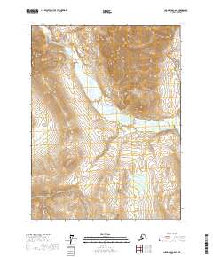
2017 · Chandalar C-6 SE
USGS Topo · 1:25,000
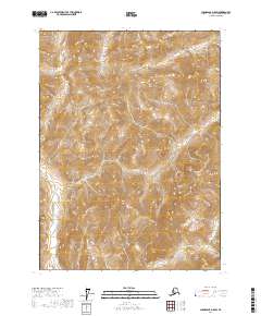
2017 · Chandalar D-5 SW
USGS Topo · 1:25,000
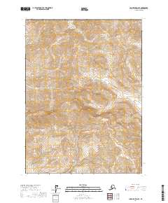
2017 · Chandalar D-6 SE
USGS Topo · 1:25,000