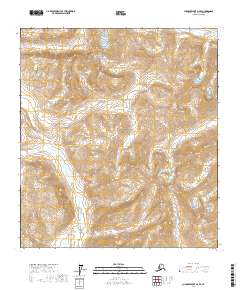
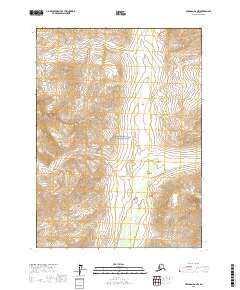
2017 Map of Chandler Lake A-2 SE
USGS Topo · Published 2017About this map
The Endicott Mountains dominate this high-latitude landscape within Gates of the Arctic National Park, showcasing a wilderness shaped by drainage and elevation. The map captures the headwaters and upper reaches of the N Fork Koyukuk River and several tributary systems, including Grizzly Cr, Ernie Cr, and Kenunga Cr. A striking geographical feature is the Valley of Precipices, which lies between prominent peaks such as Blackface Mtn and Limestack Mtn. The terrain is characterized by high-altitude crossings like Peregrine Pass and steep relief, with Als Mtn and Inclined Mtn marking the ridgelines. The lack of any roads or human settlements underscores the preserved nature of this interior Alaskan environment during the early 21st century.
Find a feature on this map
23 named features on this map. Tap any name to fly to it.
Don’t see what you’re looking for? This feature index may not catch every label — zoom into the map to look around manually.
Map Details
Editions of this 2017 Chandler Lake A-2 SE Map
This is the sole edition of this map. No revisions or reprints were ever made.
Other maps of this area

1951 · Chandler Lake
USGS Topo · 1:250,000

1951 · Wiseman
USGS Topo · 1:250,000

1956 · Wiseman
USGS Topo · 1:250,000

1956 · Chandler Lake
USGS Topo · 1:250,000

1964 · Wiseman
USGS Topo · 1:250,000

1964 · Chandler Lake
USGS Topo · 1:250,000
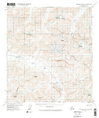
1971 · Chandler Lake A-2
USGS Topo · 1:63,360
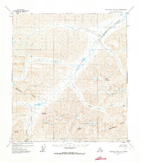
1971 · Chandler Lake A-1
USGS Topo · 1:63,360
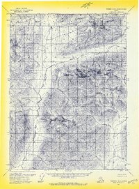
1971 · Wiseman D-2
USGS Topo · 1:63,360
2017 · Wiseman D-2 NW
USGS Topo · 1:25,000