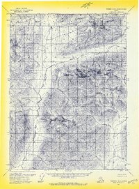
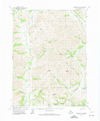
1971 Map of Wiseman D-2
USGS Topo · Published 1974About this map
Gates of the Arctic and the peaks of the central Brooks Range dominate this topographic survey. Published in the early 1970s, the map documents a landscape defined by its high-altitude topography and the headwaters of the North Fork Koyukuk River. The terrain is characterized by massive landmarks such as Boreal Mountain, Doonevak Mountain, and Twoprong Mountain, with significant water bodies like Marshall Lake tucked between the ridges.
Find a feature on this map
27 named features on this map. Tap any name to fly to it.
Don’t see what you’re looking for? This feature index may not catch every label — zoom into the map to look around manually.
Map Details
Editions of this 1971 Wiseman D-2 Map
2 editions found
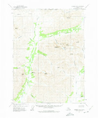
Other maps of this area

1951 · Chandler Lake
USGS Topo · 1:250,000

1951 · Wiseman
USGS Topo · 1:250,000

1956 · Wiseman
USGS Topo · 1:250,000

1956 · Chandler Lake
USGS Topo · 1:250,000

1964 · Wiseman
USGS Topo · 1:250,000

1964 · Chandler Lake
USGS Topo · 1:250,000
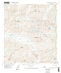
1971 · Chandler Lake A-2
USGS Topo · 1:63,360

1971 · Wiseman C-2
USGS Topo · 1:63,360
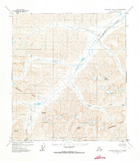
1971 · Chandler Lake A-1
USGS Topo · 1:63,360
1971 · Wiseman C-1
USGS Topo · 1:63,360