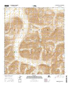
2016 Map of Chandler Lake A-3 SW
USGS Topo · Published 2016About this map
Gates of the Arctic National Park encompasses the vast majority of this 2016 survey, documenting a wilderness landscape defined by the drainage systems of the Endicott Mountains. The northern flow of the Anaktuvuk River cuts across the northeastern corner of the map, while the intricate network of Inukpasugruk Creek and its tributaries dominate the central and southern valleys. Elevation is anchored by prominent summits including Ingstad Mountain in the north and Three River Mountain further south. This map provides a technical view of the high Arctic terrain before significant modern infrastructure reached these remote interior regions. It serves as an essential record for understanding the hydrologic patterns and topography of the Brooks Range within one of the nation's most protected natural preserves.
Find a feature on this map
15 named features on this map. Tap any name to fly to it.
Don’t see what you’re looking for? This feature index may not catch every label — zoom into the map to look around manually.
Map Details
Editions of this 2016 Chandler Lake A-3 SW Map
This is the sole edition of this map. No revisions or reprints were ever made.
Other maps of this area

1951 · Chandler Lake
USGS Topo · 1:250,000

1951 · Wiseman
USGS Topo · 1:250,000

1956 · Wiseman
USGS Topo · 1:250,000

1956 · Chandler Lake
USGS Topo · 1:250,000

1964 · Wiseman
USGS Topo · 1:250,000

1964 · Chandler Lake
USGS Topo · 1:250,000

1971 · Chandler Lake A-3
USGS Topo · 1:63,360
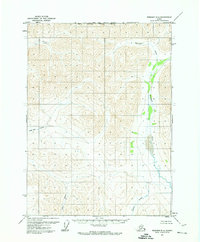
1971 · Wiseman D-4
USGS Topo · 1:63,360
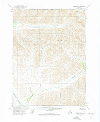
1971 · Wiseman D-3
USGS Topo · 1:63,360
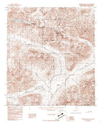
1986 · Chandler Lake A-4
USGS Topo · 1:63,360