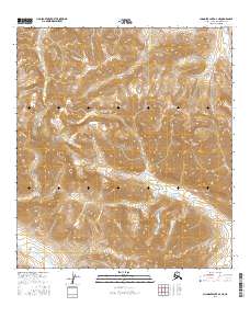
2016 Map of Chandler Lake A-4 NE
USGS Topo · Published 2016About this map
Gates of the Arctic National Park encompasses the high-altitude terrain of the Brooks Range in this 2016 survey, where deep drainage systems carve through the mountain passes. The landscape is defined by massive peaks like Nunamiut Mtn and Soakpak Mtn, which overlook a complex network of glacial-fed streams. The radial drainage pattern is evident as Tiglukpuk Cr and Contact Cr flow from the central highlands. This map records the wilderness character of the North Slope borough, providing a clear view of the topographical boundaries between the t14s r1w and t15s r1e townships. It serves as a vital record of the untouched interior, tracing the paths of Kollutarak Cr and Confusion Cr across the arctic tundra.
Find a feature on this map
13 named features on this map. Tap any name to fly to it.
Don’t see what you’re looking for? This feature index may not catch every label — zoom into the map to look around manually.
Map Details
Editions of this 2016 Chandler Lake A-4 NE Map
This is the sole edition of this map. No revisions or reprints were ever made.
Other maps of this area

1951 · Chandler Lake
USGS Topo · 1:250,000

1956 · Chandler Lake
USGS Topo · 1:250,000

1964 · Chandler Lake
USGS Topo · 1:250,000

1971 · Chandler Lake A-3
USGS Topo · 1:63,360
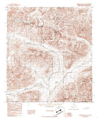
1986 · Chandler Lake A-4
USGS Topo · 1:63,360
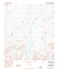
1987 · Chandler Lake B-3
USGS Topo · 1:63,360
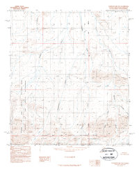
1987 · Chandler Lake B-4
USGS Topo · 1:63,360
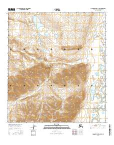
2016 · Chandler Lake B-3 SW
USGS Topo · 1:25,000
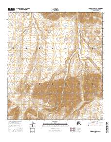
2016 · Chandler Lake B-4 SE
USGS Topo · 1:25,000
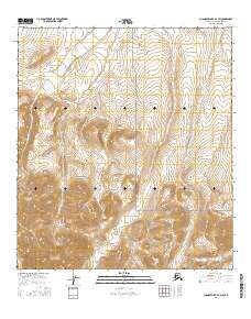
2016 · Chandler Lake B-4 SW
USGS Topo · 1:25,000