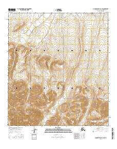
2016 Map of Chandler Lake B-4 SW
USGS Topo · Published 2016About this map
Gates of the Arctic National Park encompasses the majority of this North Slope terrain, where the topographic relief is defined by the drainage systems of the Siksikpuk River and Encampment Cr. The landscape is a complex network of high-elevation ridgelines and deep glacial valleys that characterize the central Brooks Range. This 2016 survey highlights the intricate hydrology of the region, where numerous unnamed tributaries feed into the Siksikpuk River as it flows northward toward the Arctic coastal plain. The map's detail is focused on these natural features and the established boundaries of the national park, rather than human settlement or infrastructure, reflecting the wilderness character of the Alaska interior. Detailed township and range lines, such as t13s r1w and t13s r2w, provide the primary spatial framework for navigating this roadless environment.
Find a feature on this map
9 named features on this map. Tap any name to fly to it.
Don’t see what you’re looking for? This feature index may not catch every label — zoom into the map to look around manually.
Map Details
Editions of this 2016 Chandler Lake B-4 SW Map
This is the sole edition of this map. No revisions or reprints were ever made.
Other maps of this area

1951 · Chandler Lake
USGS Topo · 1:250,000

1956 · Chandler Lake
USGS Topo · 1:250,000

1964 · Chandler Lake
USGS Topo · 1:250,000
1986 · Chandler Lake A-5
USGS Topo · 1:63,360
1986 · Chandler Lake A-4
USGS Topo · 1:63,360
1987 · Chandler Lake B-5
USGS Topo · 1:63,360
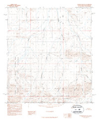
1987 · Chandler Lake B-4
USGS Topo · 1:63,360
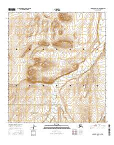
2016 · Chandler Lake B-4 NW
USGS Topo · 1:25,000
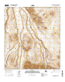
2016 · Chandler Lake B-4 NE
USGS Topo · 1:25,000
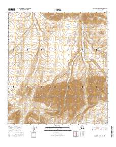
2016 · Chandler Lake B-4 SE
USGS Topo · 1:25,000