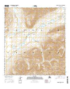
2016 Map of Chandler Lake A-4 SE
USGS Topo · Published 2016About this map
Gates of the Arctic National Park dominates this remote northern landscape within the Endicott Mountains. The topographic detail follows the winding course of the John River as it cuts through the Brooks Range, flanked by significant elevations such as Kollutuk Mtn and Fork Peak. The map illustrates a wilderness largely defined by its drainage systems, including Kollutarak Cr, in an area devoid of roads or permanent settlements. This 2016 survey captures the preservation of one of the most untouched natural environments in the United States, providing a precise record of the landforms and hydrography within the arctic interior. The lack of human infrastructure emphasizes the topographical transition from river valleys to high mountain peaks.
Find a feature on this map
12 named features on this map. Tap any name to fly to it.
Don’t see what you’re looking for? This feature index may not catch every label — zoom into the map to look around manually.
Map Details
Editions of this 2016 Chandler Lake A-4 SE Map
This is the sole edition of this map. No revisions or reprints were ever made.
Other maps of this area

1951 · Chandler Lake
USGS Topo · 1:250,000

1951 · Wiseman
USGS Topo · 1:250,000

1956 · Wiseman
USGS Topo · 1:250,000

1956 · Chandler Lake
USGS Topo · 1:250,000

1964 · Wiseman
USGS Topo · 1:250,000

1964 · Chandler Lake
USGS Topo · 1:250,000

1971 · Chandler Lake A-3
USGS Topo · 1:63,360
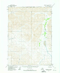
1971 · Wiseman D-4
USGS Topo · 1:63,360
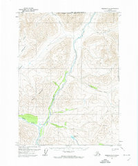
1971 · Wiseman D-5
USGS Topo · 1:63,360
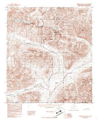
1986 · Chandler Lake A-4
USGS Topo · 1:63,360