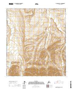
2017 Map of Chandler Lake B-1 NW
USGS Topo · Published 2017About this map
Nanushuk River dominates the western edge of this North Slope landscape, providing the primary drainage for the surrounding terrain. In the southwest corner, Nanushuk Lake sits at the base of rising elevations, serving as a significant water body in an area defined by its complex network of seasonal and perennial streams. The drainage pattern is heavily defined by several major tributaries, including Kuhsuman Cr, Cascade Cr, and Peregrine Cr, which carve through the high-latitude topography. In the eastern portion of the quadrangle, Cobblestone Cr flows through the sections of t11s r8e and t12s r8e, illustrating the typical braided or winding stream morphology found in this part of the Alaskan wilderness. This map captures the unpopulated character of the North Slope, where the landscape is structured entirely by its hydrography and the Public Land Survey System grid.
Find a feature on this map
10 named features on this map. Tap any name to fly to it.
Don’t see what you’re looking for? This feature index may not catch every label — zoom into the map to look around manually.
Map Details
Editions of this 2017 Chandler Lake B-1 NW Map
This is the sole edition of this map. No revisions or reprints were ever made.
Other maps of this area

1951 · Chandler Lake
USGS Topo · 1:250,000

1956 · Chandler Lake
USGS Topo · 1:250,000

1964 · Chandler Lake
USGS Topo · 1:250,000
1971 · Chandler Lake C-2
USGS Topo · 1:63,360
1971 · Chandler Lake C-1
USGS Topo · 1:63,360
1971 · Chandler Lake B-2
USGS Topo · 1:63,360
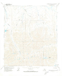
1971 · Chandler Lake B-1
USGS Topo · 1:63,360
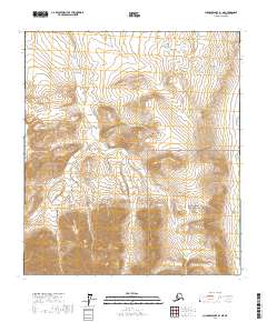
2017 · Chandler Lake B-1 NE
USGS Topo · 1:25,000
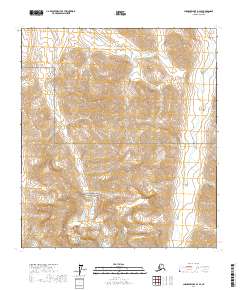
2017 · Chandler Lake B-2 SE
USGS Topo · 1:25,000
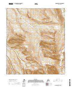
2017 · Chandler Lake B-2 NE
USGS Topo · 1:25,000