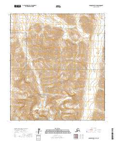
2017 Map of Chandler Lake B-2 SE
USGS Topo · Published 2017About this map
The northern reaches of the Gates of the Arctic National Preserve dominate this section of the Brooks Range, where the landscape is defined by the sharp relief of the North Slope. High-elevation features like Ear Peak rise above a complex network of glacial valleys and seasonal drainages. The Nanushuk River flows northward through the eastern portion of the quadrangle, serving as a primary corridor for the region's hydrography. Smaller tributaries including Welcome Cr and Erratic Cr cut through the steep topography, illustrating the drainage patterns that characterize this Arctic wilderness. This 2017 survey provides precise contour data and township boundaries, such as t13s r6e, essential for navigating or studying this remote portion of the North Slope Borough.
Find a feature on this map
13 named features on this map. Tap any name to fly to it.
Don’t see what you’re looking for? This feature index may not catch every label — zoom into the map to look around manually.
Map Details
Editions of this 2017 Chandler Lake B-2 SE Map
This is the sole edition of this map. No revisions or reprints were ever made.
Other maps of this area

1951 · Chandler Lake
USGS Topo · 1:250,000

1956 · Chandler Lake
USGS Topo · 1:250,000

1964 · Chandler Lake
USGS Topo · 1:250,000
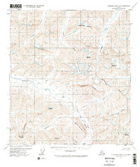
1971 · Chandler Lake A-2
USGS Topo · 1:63,360
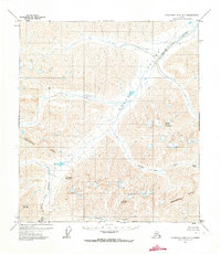
1971 · Chandler Lake A-1
USGS Topo · 1:63,360
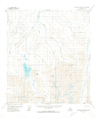
1971 · Chandler Lake B-2
USGS Topo · 1:63,360
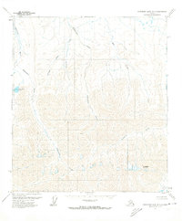
1971 · Chandler Lake B-1
USGS Topo · 1:63,360
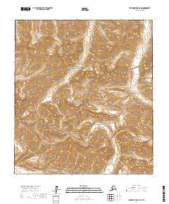
2017 · Chandler Lake A-2 NW
USGS Topo · 1:25,000
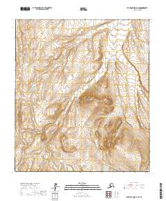
2017 · Chandler Lake B-2 NW
USGS Topo · 1:25,000
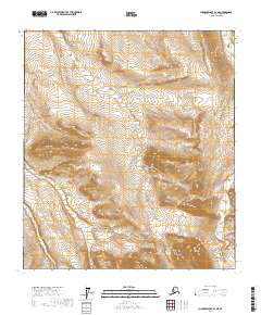
2017 · Chandler Lake B-2 NE
USGS Topo · 1:25,000