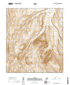
2017 Map of Chandler Lake B-2 NW
USGS Topo · Published 2017About this map
The Kanayut River flows through this high-latitude terrain of the North Slope, providing a primary drainage route for the complex watershed of the Brooks Range foothills. This 2017 survey details a landscape defined entirely by its hydrology and topographic relief, absent of human settlements or improved roads. The network of tributaries, including Alapah Cr and Welcome Cr, illustrates the intricate path water takes through these arctic highlands. Significant elevation changes are marked by the presence of Antler Valley Cr on the western edge and Erratic Cr further east, highlighting the glacial legacy of the region. The map serves as a vital record of this pristine wilderness, documenting the precise courses of Irukivik Cr and other drainages before they join larger systems moving north across the borough.
Find a feature on this map
10 named features on this map. Tap any name to fly to it.
Don’t see what you’re looking for? This feature index may not catch every label — zoom into the map to look around manually.
Map Details
Editions of this 2017 Chandler Lake B-2 NW Map
This is the sole edition of this map. No revisions or reprints were ever made.
Other maps of this area

1951 · Chandler Lake
USGS Topo · 1:250,000

1956 · Chandler Lake
USGS Topo · 1:250,000

1964 · Chandler Lake
USGS Topo · 1:250,000
1971 · Chandler Lake C-2
USGS Topo · 1:63,360
1971 · Chandler Lake B-2
USGS Topo · 1:63,360
1987 · Chandler Lake C-3
USGS Topo · 1:63,360
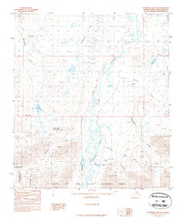
1987 · Chandler Lake B-3
USGS Topo · 1:63,360
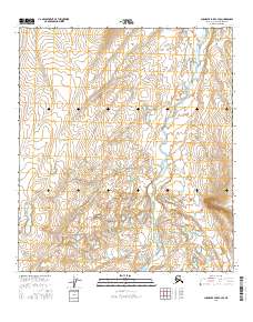
2016 · Chandler Lake C-3 SE
USGS Topo · 1:25,000
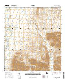
2016 · Chandler Lake B-3 SE
USGS Topo · 1:25,000
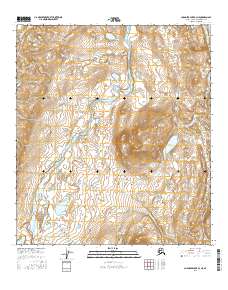
2016 · Chandler Lake B-3 NE
USGS Topo · 1:25,000