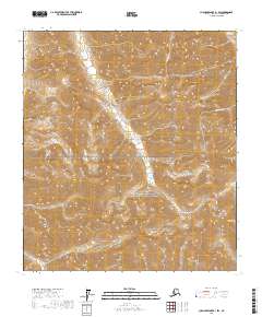
2017 Map of Chandler Lake B-1 SW
USGS Topo · Published 2017About this map
Gates Of The Arctic National Preserve spans this section of the Brooks Range, where the landscape is defined by the headwaters of numerous northern-flowing drainages. The topography is dominated by a complex network of ridgelines and steep valleys that feed into major tributaries like Kuhsuman Cr, Peregrine Cr, and Cobblestone Cr. This high-altitude terrain illustrates the drainage patterns characteristic of the North Slope's interior mountains, where Inikaklik Cr also carves through the southeast portion of the quadrangle. The map detail highlights the sheer density of relief in this remote subarctic region, providing a precise topographic view of an area where human infrastructure is entirely absent in favor of natural hydraulic systems.
Find a feature on this map
11 named features on this map. Tap any name to fly to it.
Don’t see what you’re looking for? This feature index may not catch every label — zoom into the map to look around manually.
Map Details
Editions of this 2017 Chandler Lake B-1 SW Map
This is the sole edition of this map. No revisions or reprints were ever made.
Other maps of this area

1951 · Chandler Lake
USGS Topo · 1:250,000

1956 · Chandler Lake
USGS Topo · 1:250,000

1964 · Chandler Lake
USGS Topo · 1:250,000
1971 · Chandler Lake A-2
USGS Topo · 1:63,360
1971 · Chandler Lake A-1
USGS Topo · 1:63,360
1971 · Chandler Lake B-2
USGS Topo · 1:63,360
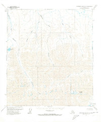
1971 · Chandler Lake B-1
USGS Topo · 1:63,360
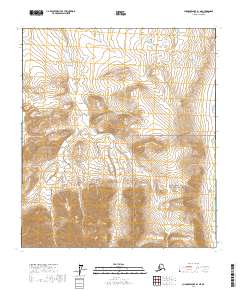
2017 · Chandler Lake B-1 NE
USGS Topo · 1:25,000
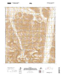
2017 · Chandler Lake B-2 SE
USGS Topo · 1:25,000
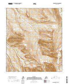
2017 · Chandler Lake B-2 NE
USGS Topo · 1:25,000