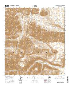
2016 Map of Chandler Lake B-5 SW
USGS Topo · Published 2016About this map
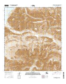
Gates of the Arctic National Park encompasses the majority of this Arctic terrain, where high-elevation ridgelines and deep glacial valleys define the wilderness north of the Continental Divide. The Kiruktagiak River flows northward through the center of the sheet, joined by high-mountain tributaries such as Monatis Cr and Inikaklik Cr. The drainage patterns here are characteristic of the Brooks Range, with water moving through narrow canyons before reaching the broader valleys. In the southeastern corner, the northern edge of Chandler Lake appears, providing a significant landmark in a landscape otherwise defined by unnamed peaks and remote waterways like Takuak Cr. This 2016 survey provides an essential look at the physical geography and hydrography of this protected wilderness before contemporary environmental shifts further alter the permafrost and water levels of the North Slope.
Find a feature on this map
12 named features on this map. Tap any name to fly to it.
Don’t see what you’re looking for? This feature index may not catch every label — zoom into the map to look around manually.
Map Details
Editions of this 2016 Chandler Lake B-5 SW Map
This is the sole edition of this map. No revisions or reprints were ever made.
Other maps of this area

1951 · Chandler Lake
USGS Topo · 1:250,000

1951 · Killik River
USGS Topo · 1:250,000

1956 · Chandler Lake
USGS Topo · 1:250,000

1956 · Killik River
USGS Topo · 1:250,000

1964 · Chandler Lake
USGS Topo · 1:250,000
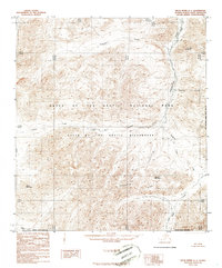
1986 · Killik River A-1
USGS Topo · 1:63,360
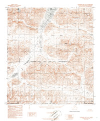
1986 · Chandler Lake A-5
USGS Topo · 1:63,360
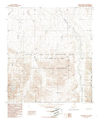
1986 · Killik River B-1
USGS Topo · 1:63,360
1987 · Chandler Lake B-5
USGS Topo · 1:63,360
2016 · Chandler Lake A-5 NE
USGS Topo · 1:25,000