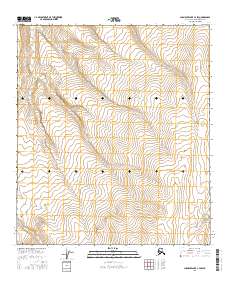
2016 Map of Chandler Lake C-3 SW
USGS Topo · Published 2016About this map
Desolation Cr serves as the primary drainage through this expanse of the North Slope, carving a winding path through steep, high-altitude topography. The terrain is characterized by dramatic elevation changes, with contours illustrating a landscape of significant relief typical of the central Brooks Range foothills. In the southeastern portion of the quadrangle, Terrace Cr emerges, further defining the local watershed. This 2016 survey, produced in cooperation with the Alaska Dept. of Transportation, provides a clear view of a largely untouched arctic wilderness where hydrology and elevation are the defining characteristics. The lack of any man-made structures or road networks underscores the isolation of this region within the North Slope Borough, making it a critical reference for understanding the natural geography of Alaska's interior mountain systems.
Find a feature on this map
11 named features on this map. Tap any name to fly to it.
Don’t see what you’re looking for? This feature index may not catch every label — zoom into the map to look around manually.
Map Details
Editions of this 2016 Chandler Lake C-3 SW Map
This is the sole edition of this map. No revisions or reprints were ever made.
Other maps of this area

1951 · Chandler Lake
USGS Topo · 1:250,000

1956 · Chandler Lake
USGS Topo · 1:250,000

1964 · Chandler Lake
USGS Topo · 1:250,000
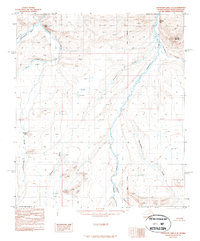
1987 · Chandler Lake C-4
USGS Topo · 1:63,360
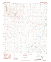
1987 · Chandler Lake C-3
USGS Topo · 1:63,360
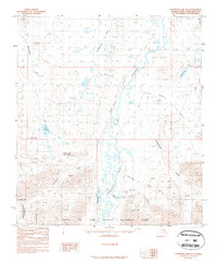
1987 · Chandler Lake B-3
USGS Topo · 1:63,360
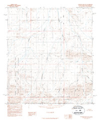
1987 · Chandler Lake B-4
USGS Topo · 1:63,360
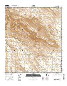
2016 · Chandler Lake C-3 NW
USGS Topo · 1:25,000
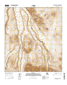
2016 · Chandler Lake B-4 NE
USGS Topo · 1:25,000
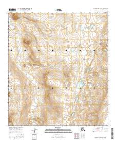
2016 · Chandler Lake B-3 NW
USGS Topo · 1:25,000