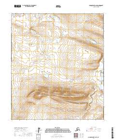
2017 Map of Chandler Lake D-2 SE
USGS Topo · Published 2017About this map
Kayak Mtn stands as a prominent topographical landmark in this interior section of the North Slope, where the land rises sharply above the surrounding tundra. The terrain is defined by the high elevations of the mountain and the natural drainage patterns of the Nanushuk River which cuts through the eastern edge of the quadrangle. This 2017 survey reflects the immense, unpopulated character of the Arctic landscape, centered on the glacial and hydrological features of the Brooks Range foothills. Sitchiak Lake provides a major focal point in the central basin, situated in a region defined by extensive public land survey sections such as t7s r6e and t8s r6e. The map serves as a record of these remote physical features prior to any modern development, preserved here by the U.S. Geological Survey.
Find a feature on this map
9 named features on this map. Tap any name to fly to it.
Don’t see what you’re looking for? This feature index may not catch every label — zoom into the map to look around manually.
Map Details
Editions of this 2017 Chandler Lake D-2 SE Map
This is the sole edition of this map. No revisions or reprints were ever made.
Other maps of this area

1951 · Chandler Lake
USGS Topo · 1:250,000

1956 · Chandler Lake
USGS Topo · 1:250,000

1964 · Chandler Lake
USGS Topo · 1:250,000
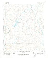
1971 · Chandler Lake D-1
USGS Topo · 1:63,360
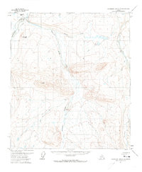
1971 · Chandler Lake C-2
USGS Topo · 1:63,360
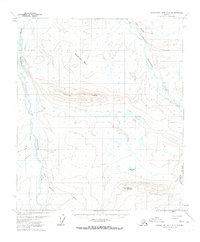
1971 · Chandler Lake D-2
USGS Topo · 1:63,360
1971 · Chandler Lake C-1
USGS Topo · 1:63,360
2017 · Chandler Lake D-1 NW
USGS Topo · 1:25,000
2017 · Chandler Lake C-1 NW
USGS Topo · 1:25,000
2017 · Chandler Lake D-2 SW
USGS Topo · 1:25,000