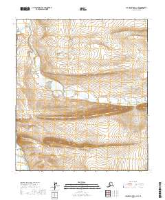
2017 Map of Chandler Lake C-1 NW
USGS Topo · Published 2017About this map
Arc Mtn rises as a prominent landmark in this remote section of the North Slope, where the drainage patterns of the Nanushuk River and May Creek define the wilderness landscape. The map illustrates a high-latitude environment characterized by steep elevation changes and intricate watercourses. Flowing across the northern portion of the quadrangle, the Nanushuk River serves as a primary geographic artery, while May Creek cuts through the central valley. This 2017 survey by the U.S. Geological Survey documents the topographical details of the region, including the township and range lines of t8s r7e and t9s r7e. The lack of man-made infrastructure emphasizes the pristine, undeveloped nature of this Arctic terrain, providing a clear record of the natural contours and hydrologic systems as they existed in the early 21st century.
Find a feature on this map
9 named features on this map. Tap any name to fly to it.
Don’t see what you’re looking for? This feature index may not catch every label — zoom into the map to look around manually.
Map Details
Editions of this 2017 Chandler Lake C-1 NW Map
This is the sole edition of this map. No revisions or reprints were ever made.
Other maps of this area

1951 · Chandler Lake
USGS Topo · 1:250,000

1956 · Chandler Lake
USGS Topo · 1:250,000

1964 · Chandler Lake
USGS Topo · 1:250,000
1971 · Chandler Lake D-1
USGS Topo · 1:63,360
1971 · Chandler Lake C-2
USGS Topo · 1:63,360
1971 · Chandler Lake D-2
USGS Topo · 1:63,360
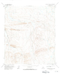
1971 · Chandler Lake C-1
USGS Topo · 1:63,360
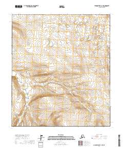
2017 · Chandler Lake C-1 NE
USGS Topo · 1:25,000
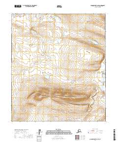
2017 · Chandler Lake D-2 SE
USGS Topo · 1:25,000
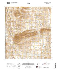
2017 · Chandler Lake C-1 SE
USGS Topo · 1:25,000