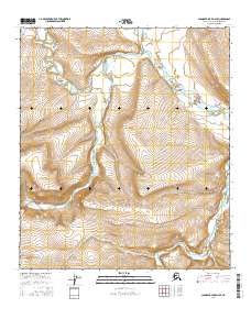
2016 Map of Chandler Lake D-4 SE
USGS Topo · Published 2016About this map
Chandler River winds through the center of this terrain in the North Slope Borough, carving a valley between the high ridges of the Brooks Range foothills. The landscape is defined by the significant confluence of glacial and mountain drainage systems, including the Siksikpuk River to the east and the Ayiyak River in the northwest corner. This 2016 survey illustrates the intricate braided patterns and alluvial gravels typical of Arctic watercourses before they reach the northern coastal plain. The contour lines reveal a topography of high mesas and deep-cut stream beds, showing how these waterways have shaped the land over millennia. The map also records the administrative grid boundaries of the t7s r1w and t7s r1e townships, which overlay this otherwise unsettled wilderness.
Find a feature on this map
9 named features on this map. Tap any name to fly to it.
Don’t see what you’re looking for? This feature index may not catch every label — zoom into the map to look around manually.
Map Details
Editions of this 2016 Chandler Lake D-4 SE Map
This is the sole edition of this map. No revisions or reprints were ever made.
Other maps of this area

1951 · Chandler Lake
USGS Topo · 1:250,000

1956 · Chandler Lake
USGS Topo · 1:250,000

1964 · Chandler Lake
USGS Topo · 1:250,000
1987 · Chandler Lake C-4
USGS Topo · 1:63,360
1987 · Chandler Lake D-3
USGS Topo · 1:63,360
1987 · Chandler Lake D-4
USGS Topo · 1:63,360
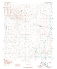
1987 · Chandler Lake C-3
USGS Topo · 1:63,360
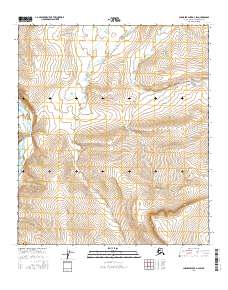
2016 · Chandler Lake D-3 SW
USGS Topo · 1:25,000
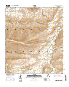
2016 · Chandler Lake D-3 NW
USGS Topo · 1:25,000
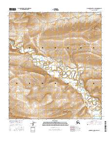
2016 · Chandler Lake D-4 NW
USGS Topo · 1:25,000