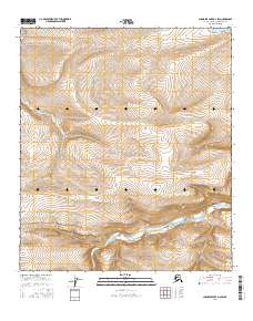
2016 Map of Chandler Lake D-4 SW
USGS Topo · Published 2016About this map
Chandler River carves through the landscape of the North Slope in this 2016 survey, meandering between the surveyed boundaries of t8s r1w and t7s r1w. The terrain is characterized by the prominent elevation of Hatbox Mesa in the southwest, rising above the surrounding drainage basins. This map captures a remote section of the Alaskan interior where the hydrology of the river system dictates the topography. Produced in coordination with the Alaska Dept. of Transportation and the BLM, the sheet provides a precise record of township and range lines across several sections, including t7s r2w and t8s r2w. This detail is particularly useful for researchers studying land management and water drainage patterns in the Arctic before more recent shifts in the landscape.
Find a feature on this map
8 named features on this map. Tap any name to fly to it.
Don’t see what you’re looking for? This feature index may not catch every label — zoom into the map to look around manually.
Map Details
Editions of this 2016 Chandler Lake D-4 SW Map
This is the sole edition of this map. No revisions or reprints were ever made.
Other maps of this area

1951 · Chandler Lake
USGS Topo · 1:250,000

1956 · Chandler Lake
USGS Topo · 1:250,000

1964 · Chandler Lake
USGS Topo · 1:250,000
1987 · Chandler Lake C-4
USGS Topo · 1:63,360
1987 · Chandler Lake C-5
USGS Topo · 1:63,360
1987 · Chandler Lake D-4
USGS Topo · 1:63,360
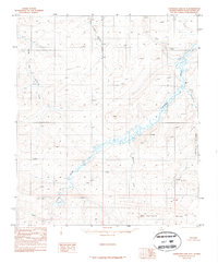
1987 · Chandler Lake D-5
USGS Topo · 1:63,360
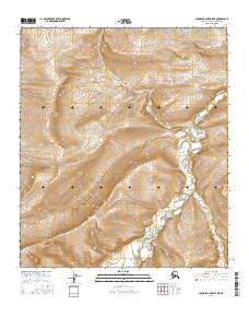
2016 · Chandler Lake D-5 NE
USGS Topo · 1:25,000
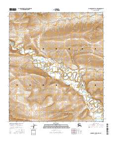
2016 · Chandler Lake D-4 NW
USGS Topo · 1:25,000
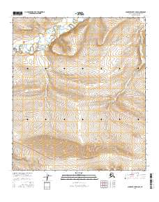
2016 · Chandler Lake D-5 SE
USGS Topo · 1:25,000