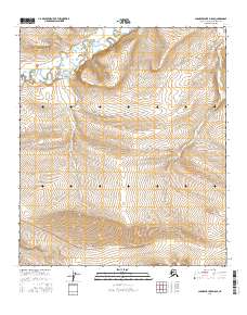
2016 Map of Chandler Lake D-5 SE
USGS Topo · Published 2016About this map
Ayiyak River meanders through the northern portion of this North Slope quadrangle, where the Arctic landscape is defined by vast drainage systems and dramatic elevation changes. The presence of Hatbox Mesa in the southern sector provides a distinct topographical landmark, rising significantly above the surrounding terrain. This high ground serves as a drainage divide between several tributary systems, including Mammoth Cr and Wolverine Cr. The map illustrates the complex braiding of these waterways as they navigate the varying gradients of the Alaskan wilderness. Published by the U.S. Geological Survey, the survey details a landscape devoid of permanent human settlements, focusing instead on the hydrography and terrain that characterize this remote portion of the North Slope Borough.
Find a feature on this map
10 named features on this map. Tap any name to fly to it.
Don’t see what you’re looking for? This feature index may not catch every label — zoom into the map to look around manually.
Map Details
Editions of this 2016 Chandler Lake D-5 SE Map
This is the sole edition of this map. No revisions or reprints were ever made.
Other maps of this area

1951 · Chandler Lake
USGS Topo · 1:250,000

1956 · Chandler Lake
USGS Topo · 1:250,000

1964 · Chandler Lake
USGS Topo · 1:250,000
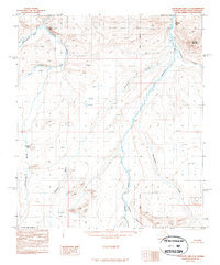
1987 · Chandler Lake C-4
USGS Topo · 1:63,360
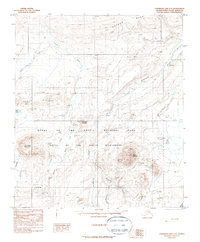
1987 · Chandler Lake C-5
USGS Topo · 1:63,360
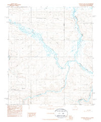
1987 · Chandler Lake D-4
USGS Topo · 1:63,360
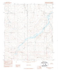
1987 · Chandler Lake D-5
USGS Topo · 1:63,360
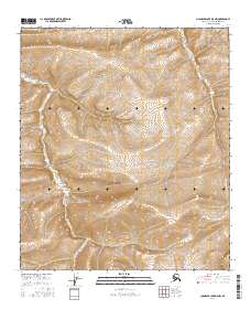
2016 · Chandler Lake D-5 NW
USGS Topo · 1:25,000
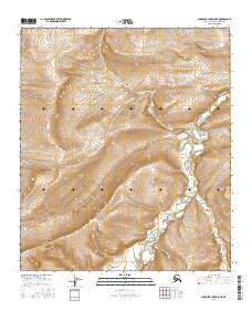
2016 · Chandler Lake D-5 NE
USGS Topo · 1:25,000
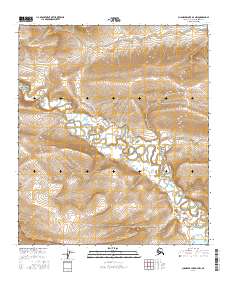
2016 · Chandler Lake D-4 NW
USGS Topo · 1:25,000