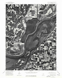
1975 Map of Chandlerville NW
USGS Topo · Published 1976About this map
The Illinois River dominates this mid-1970s orthophotoquad, carving a wide path through the fertile lowlands of Mason County. This specialized aerial imagery reveals the intricate relationship between the river's shifting channels and the intensive agricultural systems that border its banks. The settlement of Bath is visible on the eastern bank, positioned where the grid of inland farm fields meets the complex wetlands and secondary waterways of the river valley. Unlike traditional topographic maps, this survey uses direct photography to show the exact state of the floodplain, including the circular patterns of center-pivot irrigation systems and the dense forest cover that remains along the islands and banks of the Illinois River.
Find a feature on this map
2 named features on this map. Tap any name to fly to it.
Don’t see what you’re looking for? This feature index may not catch every label — zoom into the map to look around manually.
Map Details
Editions of this 1975 Chandlerville NW Map
This is the sole edition of this map. No revisions or reprints were ever made.
Other maps of this area

1918 · Vermont
USGS Topo · 1:62,500

1921 · Vermont
USGS Topo · 1:62,500

1925 · Havana
USGS Topo · 1:62,500

1926 · Beardstown
USGS Topo · 1:62,500

1930 · Chandlerville
USGS Topo · 1:62,500

1932 · Chandlerville
USGS Topo · 1:62,500

1944 · Beardstown
USGS Topo · 1:62,500

1947 · Havana
USGS Topo · 1:24,000

1948 · Duncan Mills
USGS Topo · 1:24,000
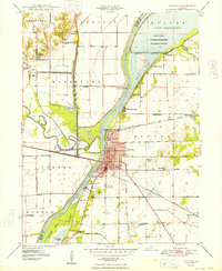
1948 · Havana
USGS Topo · 1:24,000