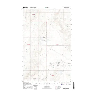
2014 Map of Chapman Coulee NE
USGS Topo · Published 2014About this map
Saint Marie stands as the primary residential hub in this corner of Valley County, characterized by a dense grid of residential streets including Elm St, Poplar St, and Laurel St. The town's layout is closely integrated with the adjacent Glasgow Industrial Airport, reflecting the area's Cold War era development and its later repurposing for civil and industrial use. This transition from a former military support community to a modern industrial and residential enclave is the defining characteristic of the landscape.
Find a feature on this map
38 named features on this map. Tap any name to fly to it.
Don’t see what you’re looking for? This feature index may not catch every label — zoom into the map to look around manually.
Map Details
Editions of this 2014 Chapman Coulee NE Map
This is the sole edition of this map. No revisions or reprints were ever made.
Other maps of this area
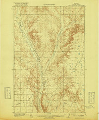
1918 · Porcupine Valley
USGS Topo · 1:62,500
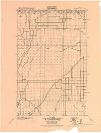
1919 · Boundary
USGS Topo · 1:125,000
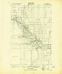
1943 · Glasgow
USGS Topo · 1:125,000

1954 · Glasgow
USGS Topo · 1:250,000

1957 · Glasgow
USGS Topo · 1:250,000

1958 · Glasgow
USGS Topo · 1:250,000
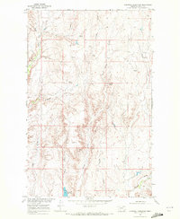
1969 · Cornwell Reservoir
USGS Topo · 1:24,000
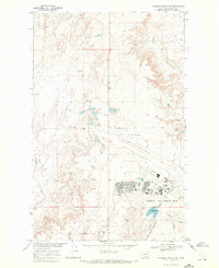
1969 · Chapman Coulee NE
USGS Topo · 1:24,000
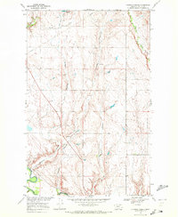
1969 · Chapman Coulee
USGS Topo · 1:24,000
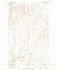
1969 · Hawk Coulee
USGS Topo · 1:24,000