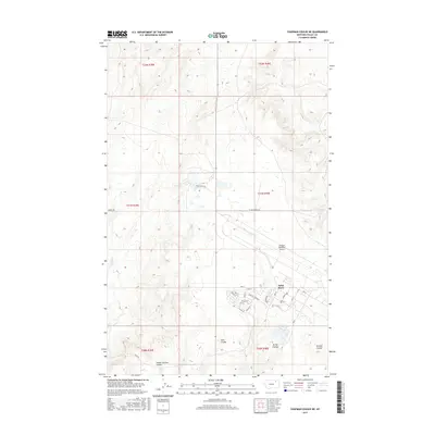
2017 Map of Chapman Coulee NE
USGS Topo · Published 2017About this map
Saint Marie serves as a primary residential center in this part of Valley County, characterized by its structured grid of streets including Elm St, Poplar St, and Country Club Blvd. Just north of the town site, the Glasgow Industrial Airport occupies a significant portion of the landscape, suggesting a history rooted in aviation and regional transport. The surrounding terrain is defined by its drainage patterns, with numerous named coulees like Foss Coulee, Spring Coulee, and School Section Coulee carving through the plains toward Cherry Cr. This network of seasonal waterways and local landmarks, such as Olson Spring, reflects the area's agricultural and rural infrastructure. Long, straight roads like Jensen Trl and Shipp Rd bridge the gaps between these natural features, providing a clear view of how the land was organized for utility and habitation in the early 21st century.
Find a feature on this map
36 named features on this map. Tap any name to fly to it.
Don’t see what you’re looking for? This feature index may not catch every label — zoom into the map to look around manually.
Map Details
Editions of this 2017 Chapman Coulee NE Map
This is the sole edition of this map. No revisions or reprints were ever made.
Other maps of this area
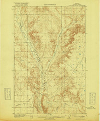
1918 · Porcupine Valley
USGS Topo · 1:62,500
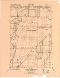
1919 · Boundary
USGS Topo · 1:125,000
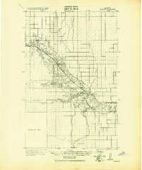
1943 · Glasgow
USGS Topo · 1:125,000

1954 · Glasgow
USGS Topo · 1:250,000

1957 · Glasgow
USGS Topo · 1:250,000

1958 · Glasgow
USGS Topo · 1:250,000
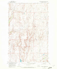
1969 · Cornwell Reservoir
USGS Topo · 1:24,000
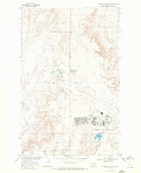
1969 · Chapman Coulee NE
USGS Topo · 1:24,000
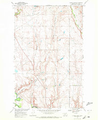
1969 · Chapman Coulee
USGS Topo · 1:24,000
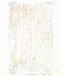
1969 · Hawk Coulee
USGS Topo · 1:24,000