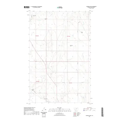
2020 Map of Chapman Coulee
USGS Topo · Published 2020About this map
The Milk River valley defines the southwest corner of this northern plains landscape, where the river's winding path is shadowed by Riverside Dr and Riggin Rd. This Valley County terrain is dominated by a complex network of drainage systems, including the map's namesake Chapman Coulee and the extensive Richardson Coulee. The topography illustrates the harsh, water-carved character of the region, featuring numerous seasonal watercourses like Spring Creek and Wire Grass Coulee.
Find a feature on this map
26 named features on this map. Tap any name to fly to it.
Don’t see what you’re looking for? This feature index may not catch every label — zoom into the map to look around manually.
Map Details
Editions of this 2020 Chapman Coulee Map
This is the sole edition of this map. No revisions or reprints were ever made.
Other maps of this area
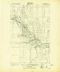
1943 · Glasgow
USGS Topo · 1:125,000

1954 · Glasgow
USGS Topo · 1:250,000

1957 · Glasgow
USGS Topo · 1:250,000

1958 · Glasgow
USGS Topo · 1:250,000
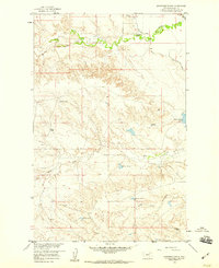
1958 · Engstrom Ranch
USGS Topo · 1:24,000
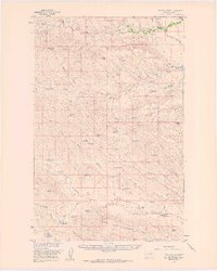
1958 · Miller Coulee
USGS Topo · 1:62,500
1958 · Glasgow
USGS Topo · 1:24,000
1958 · Whately
USGS Topo · 1:24,000
1969 · Cornwell Reservoir
USGS Topo · 1:24,000
1969 · Chapman Coulee NE
USGS Topo · 1:24,000