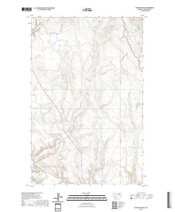
2024 Map of Chapman Coulee
USGS Topo · Published 2024About this map
The Milk River meanders across the southern edge of this Valley County landscape, defining the local hydrology alongside its tributary, O'Neil Creek. The terrain is characterized by a dense network of coulees that drain the high plains, including Chapman Coulee, Mooney Coulee, and Richardson Coulee. These geographical features trace the natural erosion patterns typical of the Montana plains, creating a complex series of ridges and draws between Spring Creek and Cherry Creek.
Find a feature on this map
19 named features on this map. Tap any name to fly to it.
Don’t see what you’re looking for? This feature index may not catch every label — zoom into the map to look around manually.
Map Details
Editions of this 2024 Chapman Coulee Map
This is the sole edition of this map. No revisions or reprints were ever made.
Other maps of this area

1943 · Glasgow
USGS Topo · 1:125,000

1954 · Glasgow
USGS Topo · 1:250,000

1957 · Glasgow
USGS Topo · 1:250,000

1958 · Glasgow
USGS Topo · 1:250,000

1958 · Engstrom Ranch
USGS Topo · 1:24,000

1958 · Miller Coulee
USGS Topo · 1:62,500

1958 · Glasgow
USGS Topo · 1:24,000

1958 · Whately
USGS Topo · 1:24,000

1969 · Cornwell Reservoir
USGS Topo · 1:24,000

1969 · Chapman Coulee NE
USGS Topo · 1:24,000