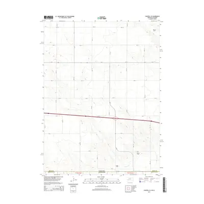
2014 Map of Chappell SE
USGS Topo · Published 2014About this map
The High Plains landscape of the Nebraska-Colorado border is defined by a strictly organized grid of rural roads and subtle drainage features. Walrath Draw and Hartley Draw cut through the terrain, illustrating the intermittent watercourses that characterize this semi-arid region of Deuel County. This 2014 survey captures the intersection of major transit corridors like Us-30 and Ne-27 as they traverse the open plains north of the state line. Agriculture and water management are evident in the presence of the State Line Ditch and Peterson Ditch near the southern border. The map provides a clear record of land division in t12n r44w, where the systematically named road network, including Road 18 and Road 8, marks the expansive agricultural plots of the western prairie.
Find a feature on this map
27 named features on this map. Tap any name to fly to it.
Don’t see what you’re looking for? This feature index may not catch every label — zoom into the map to look around manually.
Map Details
Editions of this 2014 Chappell SE Map
This is the sole edition of this map. No revisions or reprints were ever made.
Other maps of this area

1900 · Chappell
USGS Topo · 1:125,000

1953 · Ovid
USGS Topo · 1:24,000

1953 · Julesburg
USGS Topo · 1:24,000

1954 · Sterling
USGS Topo · 1:250,000

1954 · Scottsbluff
USGS Topo · 1:250,000

1958 · Scottsbluff
USGS Topo · 1:250,000

1958 · Sterling
USGS Topo · 1:250,000

1961 · Chappell
USGS Topo · 1:24,000

1961 · Barton
USGS Topo · 1:24,000

1961 · Chappell SE
USGS Topo · 1:24,000