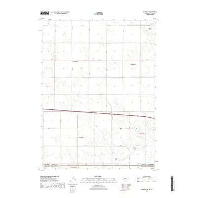
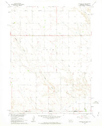
2017 Map of Chappell SE
USGS Topo · Published 2017About this map
The Nebraska and Colorado border defines the lower section of this landscape, where the agricultural plains of Deuel County meet Sedgwick County. Irrigation infrastructure is central to the land use here, with the Peterson Ditch and State Line Ditch cutting across the southern terrain to manage water resources in this arid environment. The topography is further shaped by several natural drainages, including Walrath Draw in the northeast and Hartley Draw further south, which channel seasonal runoff through the section lines. A rigid grid of rural routes, from Rd 18 down to Rd 2, illustrates the systematic North American Public Land Survey System that organized the High Plains into predictable blocks for farming and ranching.
Find a feature on this map
28 named features on this map. Tap any name to fly to it.
Don’t see what you’re looking for? This feature index may not catch every label — zoom into the map to look around manually.
Map Details
Editions of this 2017 Chappell SE Map
This is the sole edition of this map. No revisions or reprints were ever made.
Other maps of this area
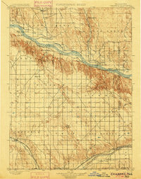
1900 · Chappell
USGS Topo · 1:125,000
1953 · Ovid
USGS Topo · 1:24,000
1953 · Julesburg
USGS Topo · 1:24,000
1954 · Sterling
USGS Topo · 1:250,000

1954 · Scottsbluff
USGS Topo · 1:250,000

1958 · Scottsbluff
USGS Topo · 1:250,000
1958 · Sterling
USGS Topo · 1:250,000
1961 · Chappell
USGS Topo · 1:24,000
1961 · Barton
USGS Topo · 1:24,000
1961 · Chappell SE
USGS Topo · 1:24,000