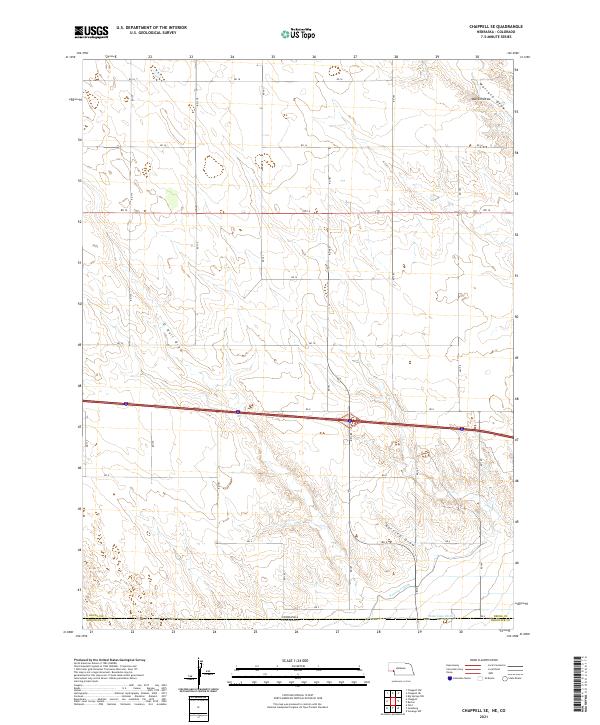
2021 Map of Chappell SE
USGS Topo · Published 2021About this map
Nebraska and Colorado meet at the southern edge of this western high plains landscape, where the high prairie is defined by a series of north-to-south drainage patterns. The northern half is dominated by the sprawling reaches of O Neill Draw and Walrath Draw, while the southern terrain transitions into a more intricate network of erosional features. Significant human modification of the landscape is evident through the irrigation systems designed to manage water in this semi-arid region, specifically the Peterson Ditch and the State Line Ditch which run parallel to the state border. A rigid grid of rural roads, including RD 18 and RD 179, dissects the terrain into standard sections, illustrating the systematic land division of the Public Land Survey System that governs this agricultural and ranching territory.
Find a feature on this map
29 named features on this map. Tap any name to fly to it.
Don’t see what you’re looking for? This feature index may not catch every label — zoom into the map to look around manually.
Map Details
Editions of this 2021 Chappell SE Map
This is the sole edition of this map. No revisions or reprints were ever made.
Other maps of this area

1900 · Chappell
USGS Topo · 1:125,000

1953 · Ovid
USGS Topo · 1:24,000

1953 · Julesburg
USGS Topo · 1:24,000

1954 · Sterling
USGS Topo · 1:250,000

1954 · Scottsbluff
USGS Topo · 1:250,000

1958 · Scottsbluff
USGS Topo · 1:250,000

1958 · Sterling
USGS Topo · 1:250,000

1961 · Chappell
USGS Topo · 1:24,000

1961 · Barton
USGS Topo · 1:24,000

1961 · Chappell SE
USGS Topo · 1:24,000