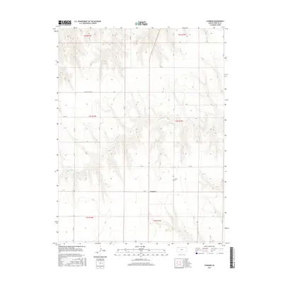
2015 Map of Chardon
USGS Topo · Published 2015About this map
Chardon serves as the focal point of this High Plains landscape in Rawlins County, situated near the intersection of Rd G and Rd 21. The terrain is defined by the winding course of the N Fork Sappa Cr, which carves a network of drainages across the townships of t4s r33w and t4s r34w. This 2015 survey illustrates a strictly organized section-line road system, including Co Rd 19 and Co Rd 414, which facilitates the region's agricultural layout. For local historians and genealogists, the Chardon Cem remains a significant landmark, marking the long-standing community presence in this quiet corner of Northwest Kansas.
Find a feature on this map
28 named features on this map. Tap any name to fly to it.
Don’t see what you’re looking for? This feature index may not catch every label — zoom into the map to look around manually.
Map Details
Editions of this 2015 Chardon Map
This is the sole edition of this map. No revisions or reprints were ever made.
Other maps of this area
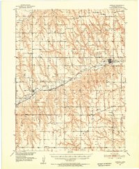
1951 · Herndon
USGS Topo · 1:62,500
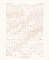
1951 · Achilles
USGS Topo · 1:62,500
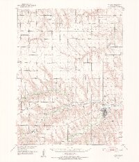
1951 · Atwood
USGS Topo · 1:62,500
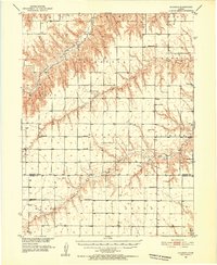
1951 · Chardon
USGS Topo · 1:62,500

1954 · Goodland
USGS Topo · 1:250,000

1956 · Goodland
USGS Topo · 1:250,000

1957 · Goodland
USGS Topo · 1:250,000
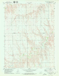
1978 · Long Draw South
USGS Topo · 1:24,000
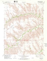
1978 · Beardsley
USGS Topo · 1:24,000
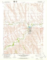
1978 · Atwood
USGS Topo · 1:24,000