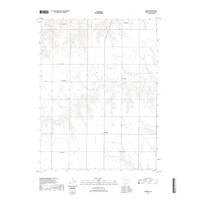
2018 Map of Chardon
USGS Topo · Published 2018About this map
The small settlement of Chardon sits along the section line of Rd G in Rawlins County, Kansas, serving as a focal point for this expansive agricultural landscape. This 2018 survey details the complex drainage system of the High Plains, most notably the winding course of N Fork Sappa Cr and its numerous tributary draws that carve through the surrounding plateaus. The map provides a clear view of the rural grid system, with roads like Rd H, Rd L, and Co Rd 414 defining the boundaries of local townships and ranch lands. For those researching local heritage or land use, the inclusion of Chardon Cem provides a critical point of reference for families rooted in this portion of northwest Kansas. The terrain is characterized by these deep incisions into the prairie, illustrating the natural erosion patterns that define the region's geography.
Find a feature on this map
19 named features on this map. Tap any name to fly to it.
Don’t see what you’re looking for? This feature index may not catch every label — zoom into the map to look around manually.
Map Details
Editions of this 2018 Chardon Map
This is the sole edition of this map. No revisions or reprints were ever made.
Other maps of this area
1951 · Herndon
USGS Topo · 1:62,500
1951 · Achilles
USGS Topo · 1:62,500
1951 · Atwood
USGS Topo · 1:62,500
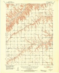
1951 · Chardon
USGS Topo · 1:62,500

1954 · Goodland
USGS Topo · 1:250,000

1956 · Goodland
USGS Topo · 1:250,000

1957 · Goodland
USGS Topo · 1:250,000
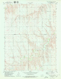
1978 · Long Draw South
USGS Topo · 1:24,000
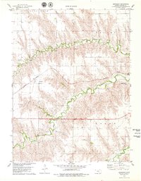
1978 · Beardsley
USGS Topo · 1:24,000
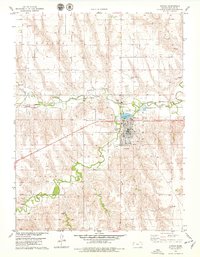
1978 · Atwood
USGS Topo · 1:24,000