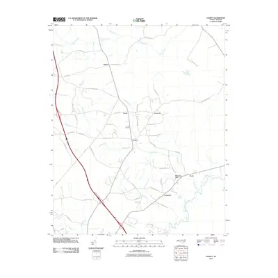
2010 Map of Charity
USGS Topo · Published 2010About this map
The Northeast Cape Fear River meanders through the southeastern corner of this Duplin County landscape, serving as a defining geographical boundary for the communities of Cartersville and Pasley. In the early 21st century, the area remains characterized by its network of named creeks and branches, including Island Creek, Maxwell Creek, and Oakie Branch, which drain the low-lying terrain. Small settlements and local landmarks are linked by a complex web of rural roads, such as Stockinghead Rd and Rivenbark Town Rd, reflecting a dispersed residential pattern common to this part of the coastal plain.
Find a feature on this map
50 named features on this map. Tap any name to fly to it.
Don’t see what you’re looking for? This feature index may not catch every label — zoom into the map to look around manually.
Map Details
Editions of this 2010 Charity Map
This is the sole edition of this map. No revisions or reprints were ever made.
Other maps of this area

1942 · Burgaw
USGS Topo · 1:62,500

1943 · Kenansville
USGS Topo · 1:62,500

1948 · Kenansville
USGS Topo · 1:62,500

1953 · Florence
USGS Topo · 1:250,000

1953 · Beaufort
USGS Topo · 1:250,000

1954 · Florence
USGS Topo · 1:250,000

1954 · Beaufort
USGS Topo · 1:250,000

1955 · Atkinson
USGS Topo · 1:62,500

1962 · Rose Hill
USGS Topo · 1:62,500

1972 · Beaufort
USGS Topo · 1:250,000