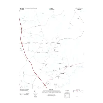
2013 Map of Charity
USGS Topo · Published 2013About this map
The Northeast Cape Fear River meanders through the southeastern corner of this Duplin County landscape, defining a terrain dominated by creek drainages and small rural settlements. This 2013 survey illustrates a network of named branches and creeks, such as Island Creek and Maxwell Creek, which shape the local geography and agricultural boundaries. Small communities and historical points of interest like Hancheys Store, Charity, and Greenevers serve as the primary hubs in an area otherwise characterized by timberland and farm plots. The map provides significant genealogical value through the naming of numerous private lanes and roads after local families, including Wells Brothers Rd, Alex Brown Ln, and Minnie Farrior Rd. These labels offer a detailed look at the 21st-century residential patterns in the North Carolina coastal plain, where long-established family names remain deeply tied to the land.
Find a feature on this map
84 named features on this map. Tap any name to fly to it.
Don’t see what you’re looking for? This feature index may not catch every label — zoom into the map to look around manually.
Map Details
Editions of this 2013 Charity Map
This is the sole edition of this map. No revisions or reprints were ever made.
Other maps of this area

1942 · Burgaw
USGS Topo · 1:62,500

1943 · Kenansville
USGS Topo · 1:62,500

1948 · Kenansville
USGS Topo · 1:62,500

1953 · Florence
USGS Topo · 1:250,000

1953 · Beaufort
USGS Topo · 1:250,000

1954 · Florence
USGS Topo · 1:250,000

1954 · Beaufort
USGS Topo · 1:250,000

1955 · Atkinson
USGS Topo · 1:62,500

1962 · Rose Hill
USGS Topo · 1:62,500

1972 · Beaufort
USGS Topo · 1:250,000