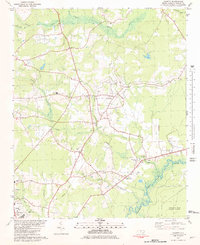
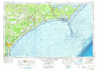
1981 Map of Charity
USGS Topo · Published 1981About this map
The Northeast Cape Fear River defines the southeastern border of this landscape, its winding channel flanked by marshy lowlands like those found in the Angola Bay Game Land. This inland portion of Duplin County shows a pattern of rural settlements and agricultural activity in the early 1980s, centered around the community of Charity and the growing town of Greenevers. Local life is anchored by a significant concentration of country churches and small educational hubs, including New Christian Chapel, Guiding Star Ch, and the Charity Jr HS.
Find a feature on this map
37 named features on this map. Tap any name to fly to it.
Don’t see what you’re looking for? This feature index may not catch every label — zoom into the map to look around manually.
Map Details
Editions of this 1981 Charity Map
This is the sole edition of this map. No revisions or reprints were ever made.
Other maps of this area
1942 · Burgaw
USGS Topo · 1:62,500
1943 · Kenansville
USGS Topo · 1:62,500
1948 · Kenansville
USGS Topo · 1:62,500

1953 · Florence
USGS Topo · 1:250,000
1953 · Beaufort
USGS Topo · 1:250,000

1954 · Florence
USGS Topo · 1:250,000
1954 · Beaufort
USGS Topo · 1:250,000
1955 · Atkinson
USGS Topo · 1:62,500
1962 · Rose Hill
USGS Topo · 1:62,500
1972 · Beaufort
USGS Topo · 1:250,000