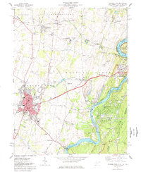
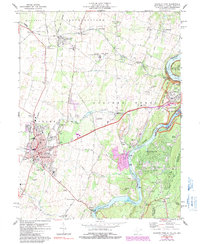
1978 Map of Charles Town
USGS Topo · Published 1979About this map
The convergence of the Potomac River and Shenandoah River anchors this study of West Virginia’s eastern panhandle in the late 1970s. Industrial and recreational development is evident in the transition from the bustling streets of Charles Town and Ranson to the protected corridors of the Harpers Ferry Nat Historical Park. The region's deep-rooted history is visible through scattered local landmarks like John Browns Cave and the Zion Ch Cem, alongside rural crossroads such as Shenandoah Junction and Bloomery.
Find a feature on this map
88 named features on this map. Tap any name to fly to it.
Don’t see what you’re looking for? This feature index may not catch every label — zoom into the map to look around manually.
Map Details
Editions of this 1978 Charles Town Map
5 editions found
Other maps of this area

1884 · Harpers Ferry
USGS Topo · 1:125,000

1891 · Harpers Ferry
USGS Topo · 1:125,000

1893 · Harpers Ferry
USGS Topo · 1:125,000

1908 · Middletown
USGS Topo · 1:48,000

1910 · Antietam
USGS Topo · 1:62,500

1914 · Martinsburg
USGS Topo · 1:48,000

1916 · Martinsburg
USGS Topo · 1:62,500

1916 · Berryville
USGS Topo · 1:62,500

1939 · Berryville
USGS Topo · 1:48,000
1944 · Round Hill
USGS Topo · 1:31,680