
1957 Map of Charleston
USGS Topo · Published 1966About this map
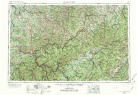
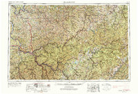
The Kanawha River serves as the industrial and logistical spine of this West Virginia landscape, connecting concentrated urban centers like Charleston and South Charleston with the Ohio River at the northwestern edge. This mid-century view shows the region's complex transition from the industrial valley floor to the high elevations of the Allegheny Mountains. To the east, the vast expanse of the Monongahela National Forest dominates the terrain, punctuated by significant peaks such as Back Fork Mountain and Point Mountain.
Find a feature on this map
52 named features on this map. Tap any name to fly to it.
Don’t see what you’re looking for? This feature index may not catch every label — zoom into the map to look around manually.
Map Details
Editions of this 1957 Charleston Map
3 editions found
Other maps of this area

1886 · St. George
USGS Topo · 1:125,000

1887 · Warfield
USGS Topo · 1:125,000

1887 · Hinton
USGS Topo · 1:125,000

1887 · Lewisburg
USGS Topo · 1:125,000

1889 · Nicholas
USGS Topo · 1:125,000

1889 · Beverly
USGS Topo · 1:125,000

1891 · Lewisburg
USGS Topo · 1:125,000

1891 · Nicholas
USGS Topo · 1:125,000

1891 · Huntersville
USGS Topo · 1:125,000

1891 · Oceana
USGS Topo · 1:125,000