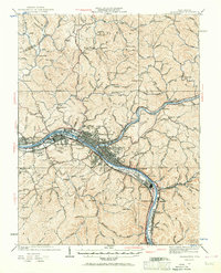
1931 Map of Charleston
USGS Topo · Published 1967About this map
Charleston and the industrializing Kanawha River valley are captured in detail after the 1929–1931 culture revisions. The map highlights a critical era of development between the world wars, specifically noting the U S Navy Reservation and the industrial footprint on Blaine Island. While the riverfront is dominated by the Kanawha and Michigan and Baltimore and Ohio rail lines, the surrounding hills are dotted with family-scale landmarks and community hubs. Small rural schools like Morning Star Sch and Pleasant Dell Sch show the distribution of ridge-top settlements before the centralization of the mid-20th century. Notable early communities such as Dunbar, South Charleston, and Big Chimney are well-defined, providing a clear record of the region's transition from rural hollows to a major industrial corridor.
Find a feature on this map
163 named features on this map. Tap any name to fly to it.
Don’t see what you’re looking for? This feature index may not catch every label — zoom into the map to look around manually.
Map Details
Editions of this 1931 Charleston Map
5 editions found

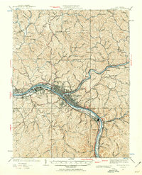
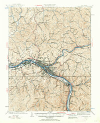
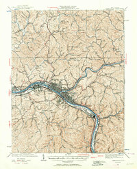
Other maps of this area

1897 · Kanawha Falls
USGS Topo · 1:125,000

1899 · Charleston
USGS Topo · 1:125,000

1900 · Kanawha Falls
USGS Topo · 1:125,000

1901 · Kanawha Falls
USGS Topo · 1:125,000

1906 · Kenna
USGS Topo · 1:62,500

1906 · Winfield
USGS Topo · 1:62,500

1906 · Walton
USGS Topo · 1:62,500

1907 · Kenna
USGS Topo · 1:62,500

1907 · Walton
USGS Topo · 1:62,500

1907 · Clendenin
USGS Topo · 1:62,500