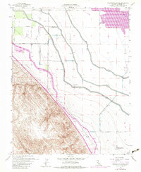
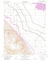
1956 Map of Charleston School
USGS Topo · Published 1983About this map
Large-scale water management projects define this Central Valley landscape, where the California Aqueduct and the Delta-Mendota Canal run parallel across the terrain. These engineering feats transformed the region, supporting agricultural operations like Woo Ranch and Hamburg Farms while powering the Dos Amigos Pumping Plant. The map illustrates a specialized land-use pattern where industrial irrigation meets recreation, notably at the extensive Duck Ponds and local sporting sites including the Brito Gun Club and Santa Cruz Gun Club.
Find a feature on this map
21 named features on this map. Tap any name to fly to it.
Don’t see what you’re looking for? This feature index may not catch every label — zoom into the map to look around manually.
Map Details
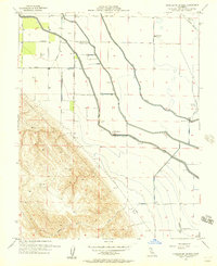
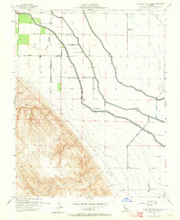
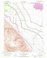
Editions of this 1956 Charleston School Map
5 editions found
Other maps of this area

1913 · Panoche
USGS Topo · 1:125,000

1916 · Delta Ranch
USGS Topo · 1:24,000

1920 · Carrisalito Spring
USGS Topo · 1:31,680

1921 · Volta
USGS Topo · 1:31,680

1921 · Los Banos
USGS Topo · 1:31,680

1921 · Laguna Seca Ranch
USGS Topo · 1:31,680

1922 · Charleston School
USGS Topo · 1:31,680

1922 · Dos Palos
USGS Topo · 1:31,680

1922 · Ortigalita
USGS Topo · 1:31,680
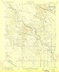
1922 · Delta Ranch
USGS Topo · 1:31,680