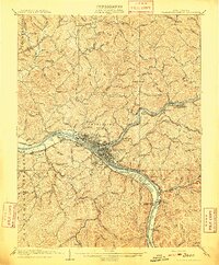
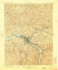
1909 Map of Charleston Special
USGS Topo · Published 1909About this map
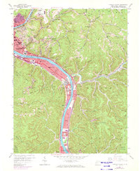
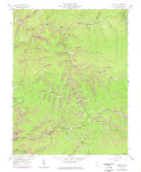
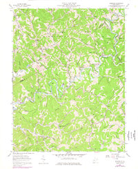
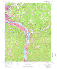
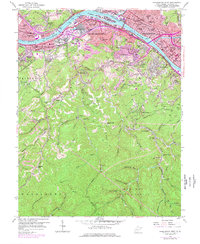
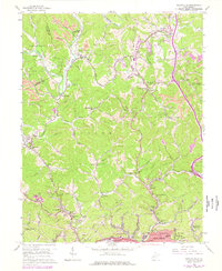
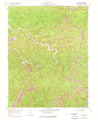
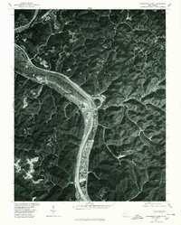
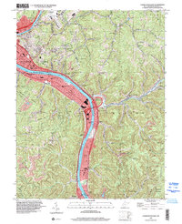
The Kanawha River serves as the industrial and logistical spine of this West Virginia landscape, flanked by the competing rail lines of the Chesapeake and Ohio and the Kanawha and Michigan railroads. At the heart of the region, the growing city of Charleston is flanked by West Charleston and South Charleston, reflecting an era of rapid expansion. Coal production and transport are evident at the Graham Mines PO and along the Kanawha and Coal River tracks, while the river itself is managed by structures like Lock 6 and Lock 5. Beyond the river valley, the topography is defined by the winding Pocatalico River and numerous rural communities such as McClanahan and Copenhaver. Local life is anchored by family-named landmarks like Holmes Knob and rural institutions including Morning Star School and Morgan Chapel, providing a detailed look at Kanawha County's social and industrial fabric.
Find a feature on this map
124 named features on this map. Tap any name to fly to it.
Don’t see what you’re looking for? This feature index may not catch every label — zoom into the map to look around manually.
Map Details
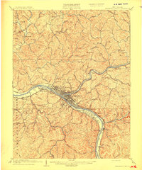
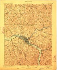
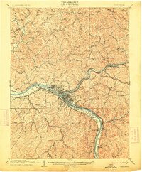
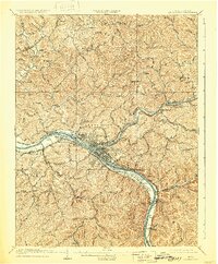
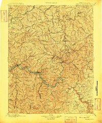
Editions of this 1909 Charleston Special Map
6 editions found
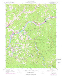
Historical Maps of Charleston Through Time
27 maps found

1897 Kanawha Falls
Kanawha County, WV

1900 Kanawha Falls
Kanawha County, WV
1901 Kanawha Falls
Kanawha County, WV
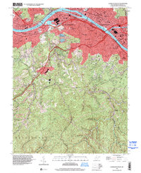
1957 Blue Creek
Kanawha County, WV
1957 Charleston East
Kanawha County, WV
1957 Mammoth
Kanawha County, WV
1957 Romance
Kanawha County, WV
1958 Charleston East
Kanawha County, WV
1958 Charleston West
Kanawha County, WV
1958 Pocatalico
Kanawha County, WV
1958 Quick
Kanawha County, WV
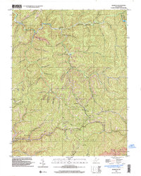
1977 Blue Creek
Kanawha County, WV
1977 Charleston East
Kanawha County, WV
1977 Charleston West
Kanawha County, WV
1977 Pocatalico
Kanawha County, WV

1994 Pocatalico
Kanawha County, WV
1996 Charleston East
Kanawha County, WV
1996 Charleston West
Kanawha County, WV
1996 Mammoth
Kanawha County, WV
2000 Quick
Kanawha County, WV
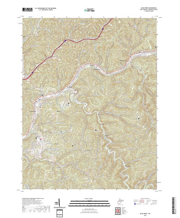
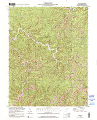
2023 Blue Creek
Kanawha County, WV
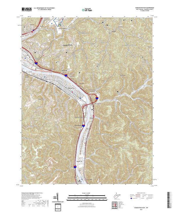
2023 Charleston East
Kanawha County, WV
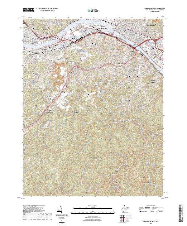
2023 Charleston West
Kanawha County, WV
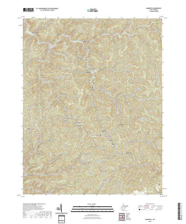
2023 Mammoth
Kanawha County, WV
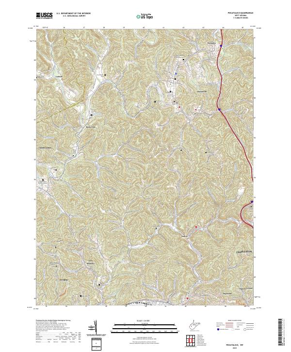
2023 Pocatalico
Kanawha County, WV
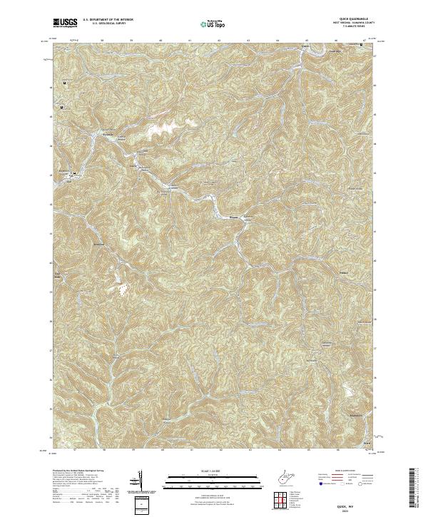
2023 Quick
Kanawha County, WV
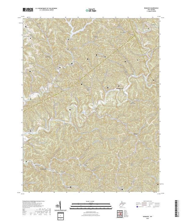
2023 Romance
Kanawha County, WV