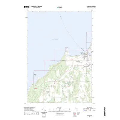
2023 Map of Charlevoix
USGS Topo · Published 2023About this map
Charlevoix serves as the focal point of this coastal landscape, situated where the Pine River connects Lake Charlevoix to the expansive waters of Lake Michigan. The town’s layout is defined by historical corridors like Antrim St and Petoskey Ave, while the Beaver Island Ferry route tracks northwest from the harbor. Local heritage is preserved in several burial grounds, including Saint Marys Cem and the Army of the Republic Cem, reflecting the area's long-standing community roots.
Find a feature on this map
52 named features on this map. Tap any name to fly to it.
Don’t see what you’re looking for? This feature index may not catch every label — zoom into the map to look around manually.
Map Details
Editions of this 2023 Charlevoix Map
This is the sole edition of this map. No revisions or reprints were ever made.
Other maps of this area

1954 · Central Lake
USGS Topo · 1:62,500

1954 · Charlevoix
USGS Topo · 1:62,500

1955 · Cheboygan
USGS Topo · 1:250,000

1958 · Cheboygan
USGS Topo · 1:250,000

1958 · Bayshore
USGS Topo · 1:62,500

1961 · Boyne City
USGS Topo · 1:62,500

1975 · Boyne City NW
USGS Topo · 1:24,000
1983 · Ellsworth
USGS Topo · 1:25,000
1983 · Atwood
USGS Topo · 1:24,000
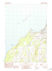
1983 · Charlevoix
USGS Topo · 1:25,000