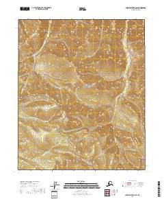
2018 Map of Charley River A-2 SW
USGS Topo · Published 2018About this map
Yukon-Charley Rivers National Preserve defines this landscape in the Southeast Fairbanks Census Area, protecting a vast stretch of the Alaskan interior where the drainage patterns of the Michigan Cr and Washington Cr basins converge. This 2018 survey detail shows a topographic transition where these watercourses carve through high-elevation terrain, with Crooked Cr flowing through the northwestern corner. The map traces the intricate network of these headwaters, reflecting the protected status of the land and the lack of modern development or road infrastructure. The inclusion of the Public Land Survey System grids, such as t3n r29e and t2n r29e, provides a precise geospatial framework for researchers and land managers looking to navigate this specific quadrant of the national preserve.
Find a feature on this map
10 named features on this map. Tap any name to fly to it.
Don’t see what you’re looking for? This feature index may not catch every label — zoom into the map to look around manually.
Map Details
Editions of this 2018 Charley River A-2 SW Map
This is the sole edition of this map. No revisions or reprints were ever made.
Other maps of this area

1899 · Fortymile
USGS Topo · 1:250,000

1951 · Charley River
USGS Topo · 1:250,000

1951 · Eagle
USGS Topo · 1:250,000

1956 · Charley River A-3
USGS Topo · 1:63,360

1956 · Charley River A-2
USGS Topo · 1:63,360

1956 · Charley River
USGS Topo · 1:250,000

1956 · Eagle D-2
USGS Topo · 1:63,360

1956 · Eagle D-3
USGS Topo · 1:63,360

1957 · Eagle
USGS Topo · 1:250,000
2018 · Charley River A-2 NE
USGS Topo · 1:25,000