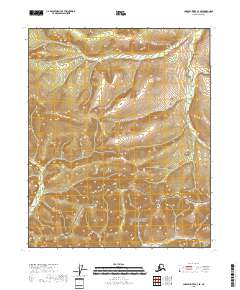
2018 Map of Charley River C-3 SE
USGS Topo · Published 2018About this map
The Yukon-Charley Rivers National Preserve dominates the southern portion of this interior Alaska survey, protecting a landscape where subarctic rivers carve through ancient uplands. This 2018 edition reveals the upper reaches of the Draanjik River as it winds through the northeastern terrain, while Easy Moose Cr drains the southern slopes within the federal preserve boundary. The map illustrates a region defined by its isolation and lack of human infrastructure, where the public land survey system grid, including townships t9n r27e and t8n r27e, provides the only formal markers of location. This documentation of the eastern Charley River region offers a baseline of the modern wilderness before any further environmental or geological shifts occur in the Yukon-Koyukuk Census Area.
Find a feature on this map
7 named features on this map. Tap any name to fly to it.
Don’t see what you’re looking for? This feature index may not catch every label — zoom into the map to look around manually.
Map Details
Editions of this 2018 Charley River C-3 SE Map
This is the sole edition of this map. No revisions or reprints were ever made.
Other maps of this area

1951 · Charley River
USGS Topo · 1:250,000

1956 · Charley River C-2
USGS Topo · 1:63,360

1956 · Charley River B-3
USGS Topo · 1:63,360

1956 · Charley River B-2
USGS Topo · 1:63,360
1956 · Charley River C-3
USGS Topo · 1:63,360

1956 · Charley River
USGS Topo · 1:250,000
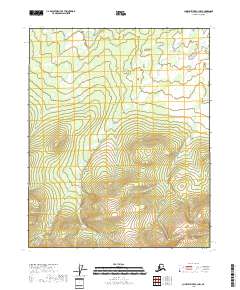
2018 · Charley River C-3 NW
USGS Topo · 1:25,000
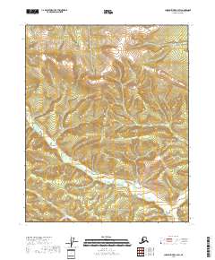
2018 · Charley River C-3 SW
USGS Topo · 1:25,000
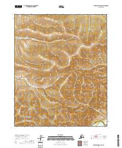
2018 · Charley River C-2 SW
USGS Topo · 1:25,000
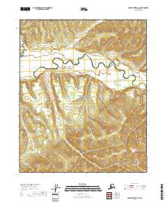
2018 · Charley River B-3 NE
USGS Topo · 1:25,000