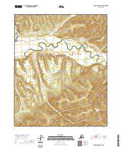
2018 Map of Charley River B-3 NE
USGS Topo · Published 2018About this map
The Kandik River meanders across this northern landscape within the Yukon-Charley Rivers National Preserve. This 2018 survey captures the intricate oxbows and wetland drainage patterns characteristic of the interior Alaskan river systems. Tributaries like Judge Cr and the curiously named Easy Moose feed into the main waterway, which serves as the primary geographical focus for the region. The map also delineates the administrative boundary between the Yukon-Koyukuk Census Area and the Southeast Fairbanks Census Area. The lack of road infrastructure or permanent settlements reflects the remote, preserved nature of this river corridor, where the topography is defined by low-lying basins and rising ridgelines between watersheds.
Find a feature on this map
11 named features on this map. Tap any name to fly to it.
Don’t see what you’re looking for? This feature index may not catch every label — zoom into the map to look around manually.
Map Details
Editions of this 2018 Charley River B-3 NE Map
This is the sole edition of this map. No revisions or reprints were ever made.
Other maps of this area

1951 · Charley River
USGS Topo · 1:250,000

1956 · Charley River C-2
USGS Topo · 1:63,360

1956 · Charley River B-3
USGS Topo · 1:63,360

1956 · Charley River B-2
USGS Topo · 1:63,360
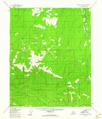
1956 · Charley River C-3
USGS Topo · 1:63,360

1956 · Charley River
USGS Topo · 1:250,000
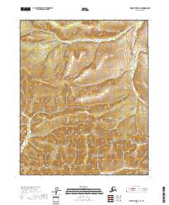
2018 · Charley River C-3 SE
USGS Topo · 1:25,000
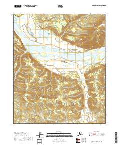
2018 · Charley River B-3 SW
USGS Topo · 1:25,000
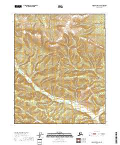
2018 · Charley River C-3 SW
USGS Topo · 1:25,000
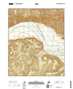
2018 · Charley River B-3 SE
USGS Topo · 1:25,000