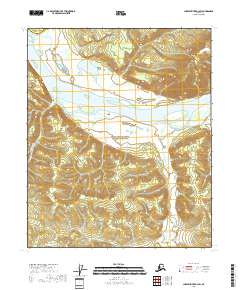
2018 Map of Charley River B-3 SW
USGS Topo · Published 2018About this map
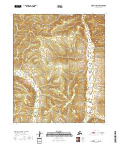
Yukon-Charley Rivers National Preserve dominates this section of the Alaskan interior, centered on the powerful flow of the Yukon River. The terrain is defined by dramatic elevation changes rising from the riverbanks toward the peak of Kathul Mtn in the northeast. The landscape is deeply etched by a network of drainage systems, including the meandering Weshriarin Creek and the broader valley of Washington Creek. This 2018 survey illustrates the preserved wild character of the eastern Southeast Fairbanks Census Area, where the lack of modern road infrastructure highlights the continued importance of the river corridor for navigation and access in this subarctic environment.
Find a feature on this map
14 named features on this map. Tap any name to fly to it.
Don’t see what you’re looking for? This feature index may not catch every label — zoom into the map to look around manually.
Map Details
Editions of this 2018 Charley River B-3 SW Map
This is the sole edition of this map. No revisions or reprints were ever made.
Other maps of this area

1951 · Charley River
USGS Topo · 1:250,000

1956 · Charley River A-4
USGS Topo · 1:63,360

1956 · Charley River B-3
USGS Topo · 1:63,360

1956 · Charley River A-3
USGS Topo · 1:63,360

1956 · Charley River B-4
USGS Topo · 1:63,360

1956 · Charley River
USGS Topo · 1:250,000
2018 · Charley River B-3 SE
USGS Topo · 1:25,000
2018 · Charley River A-3 NE
USGS Topo · 1:25,000
2018 · Charley River A-4 NE
USGS Topo · 1:25,000
2018 · Charley River A-3 NW
USGS Topo · 1:25,000