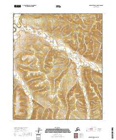
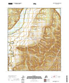
2018 Map of Charley River A-4 NE
USGS Topo · Published 2018About this map
Yukon-Charley Rivers National Preserve covers the vast majority of this interior Alaskan landscape, protecting a complex network of waterways that flow through the upper Yukon drainage. The Charley River is the primary artery here, joined by numerous tributaries including Bonanza Cr, Washington Cr, and Flat Cr. The terrain is defined by the steep drainages of Boston Gulch and the winding paths of Fisher Cr and Marie Cr. This area spans the border between the Southeast Fairbanks Census Area and the Yukon-Koyukuk Census Area. The density of named creeks and gulches such as Maud Cr and Durgent Cr indicates a landscape shaped by persistent water action and historical interest in these remote valleys.
Find a feature on this map
17 named features on this map. Tap any name to fly to it.
Don’t see what you’re looking for? This feature index may not catch every label — zoom into the map to look around manually.
Map Details
Editions of this 2018 Charley River A-4 NE Map
This is the sole edition of this map. No revisions or reprints were ever made.
Other maps of this area

1951 · Charley River
USGS Topo · 1:250,000

1956 · Charley River A-4
USGS Topo · 1:63,360

1956 · Charley River B-3
USGS Topo · 1:63,360

1956 · Charley River A-3
USGS Topo · 1:63,360

1956 · Charley River B-4
USGS Topo · 1:63,360

1956 · Charley River
USGS Topo · 1:250,000
2018 · Charley River B-4 SW
USGS Topo · 1:25,000
2018 · Charley River B-3 SW
USGS Topo · 1:25,000
2018 · Charley River A-3 NW
USGS Topo · 1:25,000
2018 · Charley River B-4 SE
USGS Topo · 1:25,000