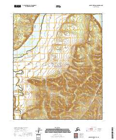
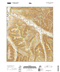
2018 Map of Charley River B-4 SE
USGS Topo · Published 2018About this map
The Yukon River carves through this northern landscape, serving as a primary corridor through the Yukon-Charley Rivers National Preserve. Along its banks, the dramatic rising terrain of Chester Bluff overlooks the water, while the Charley River joins the main flow from the south. The area is defined by its transition from riverine wetlands to higher elevations, including the Mertle Mountains in the eastern section of the sheet. This map also marks the boundary between the Yukon-Koyukuk Census Area and Southeast Fairbanks Census Area, illustrating how these administrative lines intersect with the natural path of the river. To the southeast, the drainage of Washington Cr provides further detail of the local watershed system in this protected interior region.
Find a feature on this map
11 named features on this map. Tap any name to fly to it.
Don’t see what you’re looking for? This feature index may not catch every label — zoom into the map to look around manually.
Map Details
Editions of this 2018 Charley River B-4 SE Map
This is the sole edition of this map. No revisions or reprints were ever made.
Other maps of this area

1951 · Charley River
USGS Topo · 1:250,000

1956 · Charley River A-4
USGS Topo · 1:63,360

1956 · Charley River B-3
USGS Topo · 1:63,360

1956 · Charley River A-3
USGS Topo · 1:63,360

1956 · Charley River B-4
USGS Topo · 1:63,360

1956 · Charley River
USGS Topo · 1:250,000
2018 · Charley River B-4 SW
USGS Topo · 1:25,000
2018 · Charley River B-3 SW
USGS Topo · 1:25,000
2018 · Charley River B-4 NW
USGS Topo · 1:25,000
2018 · Charley River A-4 NE
USGS Topo · 1:25,000