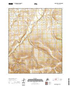
2018 Map of Charley River C-6 NE
USGS Topo · Published 2018About this map
The vast interior of the Yukon-Charley Rivers National Preserve dominates this remote portion of the Alaska wilderness. The terrain is defined by its dramatic relief and undeveloped character, where the natural water systems like Paddle Cr dictate the landscape's flow. This area remains largely untouched by modern infrastructure, reflecting a landscape preserved in its wild state as it was surveyed in the 2010s. The absence of roads or permanent settlements underscores the isolation of the Yukon-Koyukuk region, where the primary markers are the sectional boundaries and the winding paths of unnamed drainages that feed into larger interior river systems.
Find a feature on this map
8 named features on this map. Tap any name to fly to it.
Don’t see what you’re looking for? This feature index may not catch every label — zoom into the map to look around manually.
Map Details
Editions of this 2018 Charley River C-6 NE Map
This is the sole edition of this map. No revisions or reprints were ever made.
Other maps of this area

1951 · Charley River
USGS Topo · 1:250,000
1956 · Charley River D-5
USGS Topo · 1:63,360

1956 · Charley River C-5
USGS Topo · 1:63,360

1956 · Charley River C-6
USGS Topo · 1:63,360
1956 · Charley River D-6
USGS Topo · 1:63,360

1956 · Charley River
USGS Topo · 1:250,000
2018 · Charley River C-5 NW
USGS Topo · 1:25,000
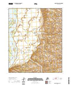
2018 · Charley River D-6 SW
USGS Topo · 1:25,000
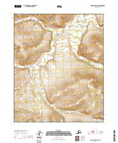
2018 · Charley River C-5 SW
USGS Topo · 1:25,000
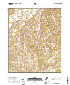
2018 · Charley River D-5 SW
USGS Topo · 1:25,000