
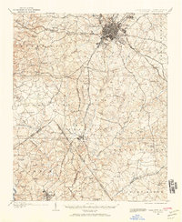
1905 Map of Charlotte
USGS Topo · Published 1905About this map
Charlotte is the focal point of this 1905 survey, showing the city's early footprint before its mid-century expansion. The map details a landscape transition from the urban core to the rural townships of Berryhill, Steele Creek, and Providence. Transportation is defined by the Southern Railway lines radiating from the city and the emergence of early engineered infrastructure, such as the Macadamized Road extending toward the south.
Find a feature on this map
59 named features on this map. Tap any name to fly to it.
Don’t see what you’re looking for? This feature index may not catch every label — zoom into the map to look around manually.
Map Details
Editions of this 1905 Charlotte Map
2 editions found
Other maps of this area

1907 · Charlotte
USGS Topo · 1:62,500

1914 · Gastonia
USGS Topo · 1:48,000

1916 · Gastonia
USGS Topo · 1:62,500

1941 · Charlotte
USGS Topo · 1:125,000

1941 · Spartanburg
USGS Topo · 1:250,000

1942 · Charlotte
USGS Topo · 1:125,000

1947 · Clover
USGS Topo · 1:62,500

1948 · Paw Creek
USGS Topo · 1:24,000

1948 · Derita
USGS Topo · 1:24,000

1948 · Charlotte East
USGS Topo · 1:24,000