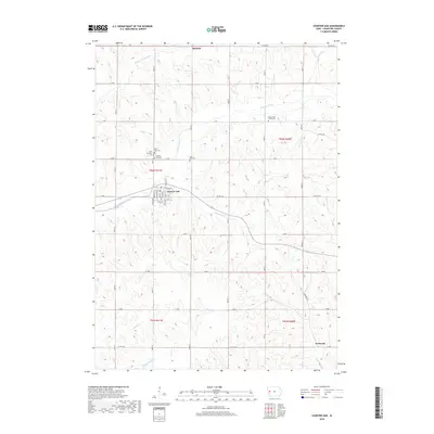
2018 Map of Charter Oak
USGS Topo · Published 2018About this map
Charter Oak serves as the central hub of this Crawford County landscape, where the local street grid intersects with Co HWY e36 and the winding course of the East Soldier River. The surrounding terrain is defined by the complex drainage systems of the Middle Soldier River and E Soldier River to the north, and Willow Cr to the south. This network of waterways historically dictated the placement of early settlements and travel routes, such as the path toward Kenwood in the southeast.
Find a feature on this map
49 named features on this map. Tap any name to fly to it.
Don’t see what you’re looking for? This feature index may not catch every label — zoom into the map to look around manually.
Map Details
Editions of this 2018 Charter Oak Map
This is the sole edition of this map. No revisions or reprints were ever made.
Other maps of this area

1954 · Omaha
USGS Topo · 1:250,000

1954 · Fort Dodge
USGS Topo · 1:250,000

1957 · Omaha
USGS Topo · 1:250,000

1957 · Fort Dodge
USGS Topo · 1:250,000

1958 · Omaha
USGS Topo · 1:250,000

1958 · Fort Dodge
USGS Topo · 1:250,000

1969 · Danbury
USGS Topo · 1:24,000

1971 · Ricketts
USGS Topo · 1:24,000

1971 · Ute
USGS Topo · 1:24,000

1971 · Schleswig
USGS Topo · 1:24,000